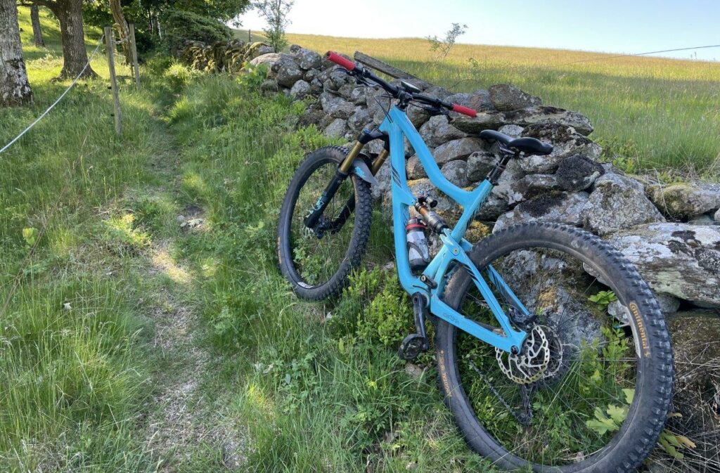
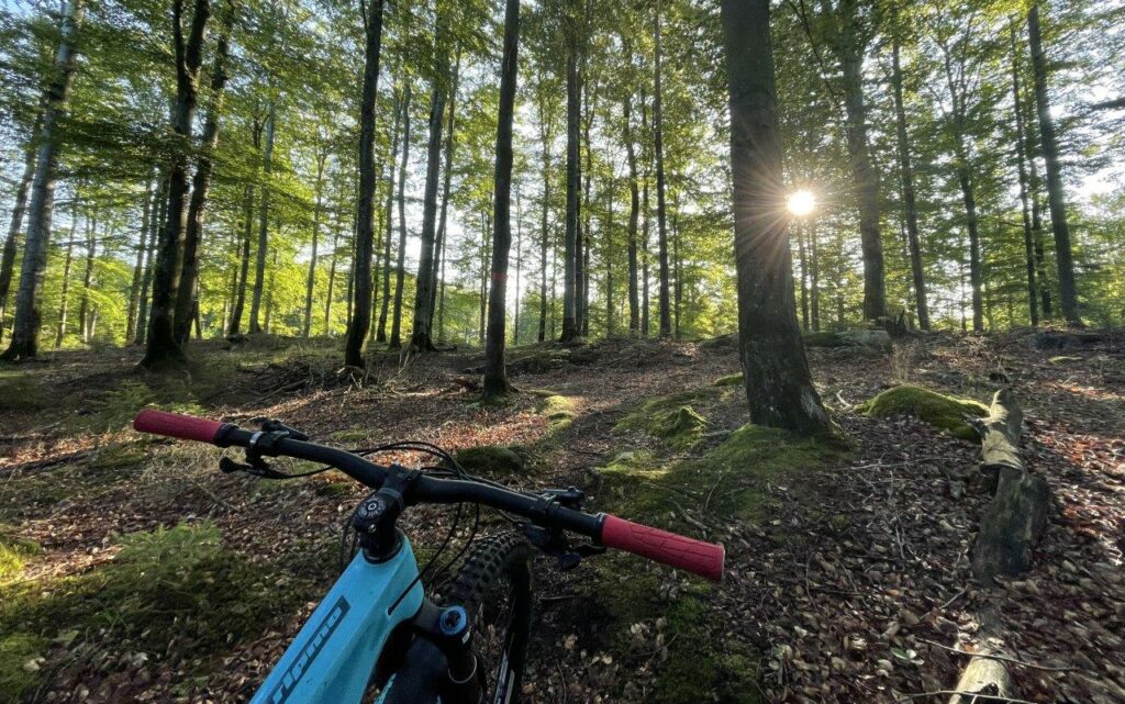
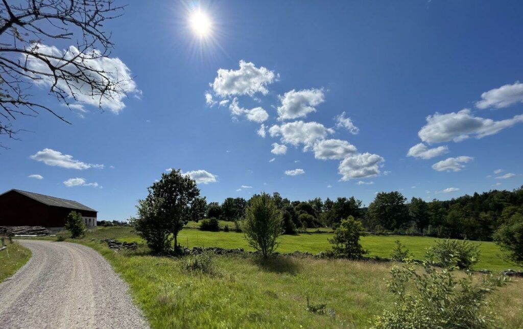
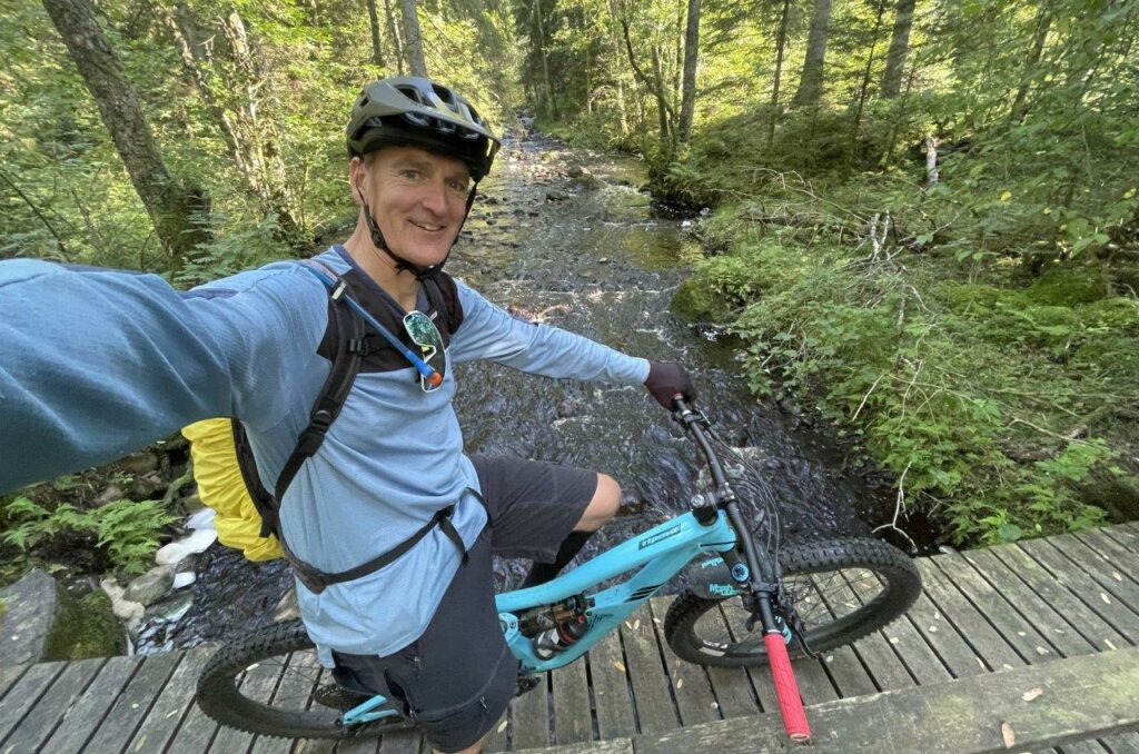
This is not about sending it, shredding it, gnarly sections or the best technical or flowy trail ever. It’s not about the highest mountains, longest climb or extremes of any other kind for that matter. This is about calmingly enjoying and appreciating all the different landscapes of my home county Halland. And It’s all done on the trail of Halland: Hallandsleden. The trail is for hiking and “advised” not to be done by bike. However, Swedish law allows you to, and everything is bikeable.
I’ve had the idea to ride the complete trail for a long time, even though I know there are long sections of gravel road and not only single tracks. Very often I’ve done sections of it around my home area, but only short bits. This summer I made the decision to just do it. Like a project. A solo project. To start with, some shorter sections but then just going ALL IN on the longest MTB-rides I’ve ever done. Something that also gave me new perspectives of planning of calories during a full day in the saddle.
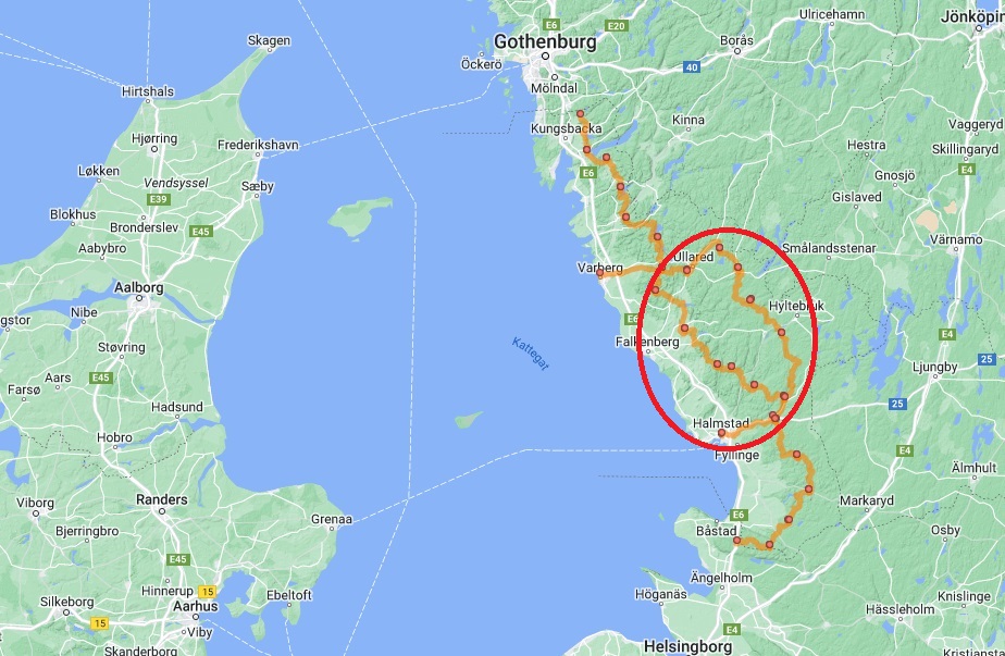
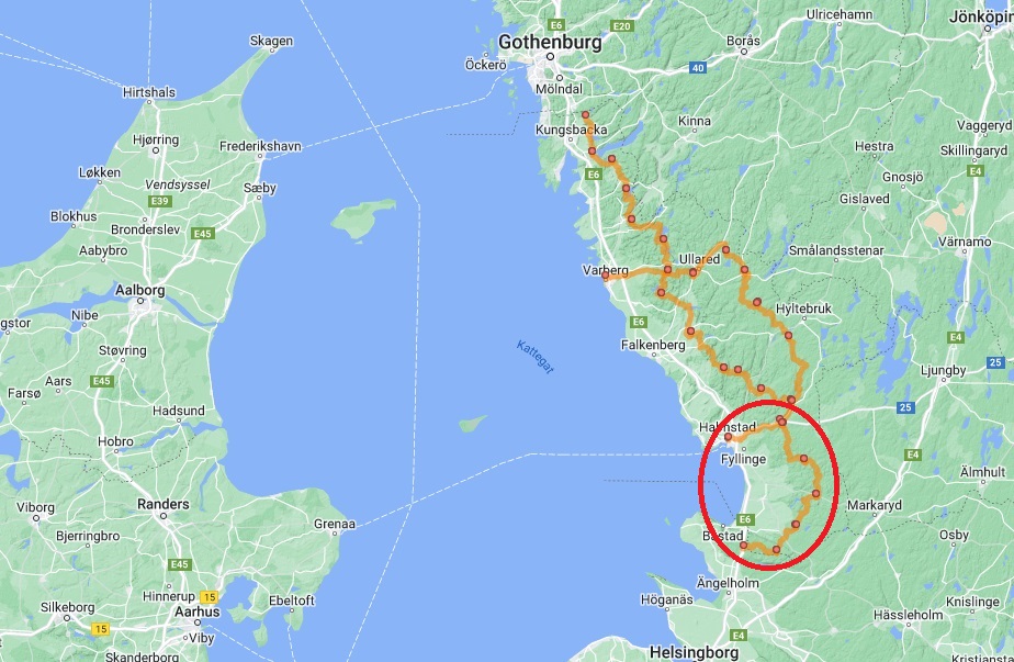
It all summed up to an adventure of 471 kilometers, 6348 meters of climb and 32hours of riding.
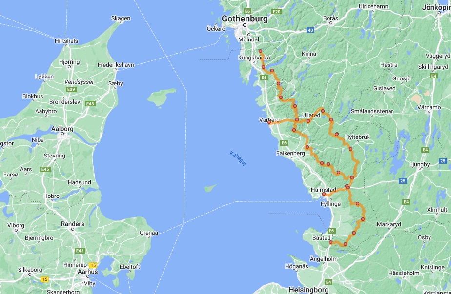
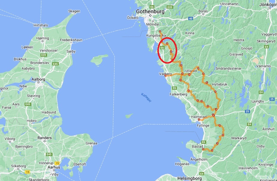
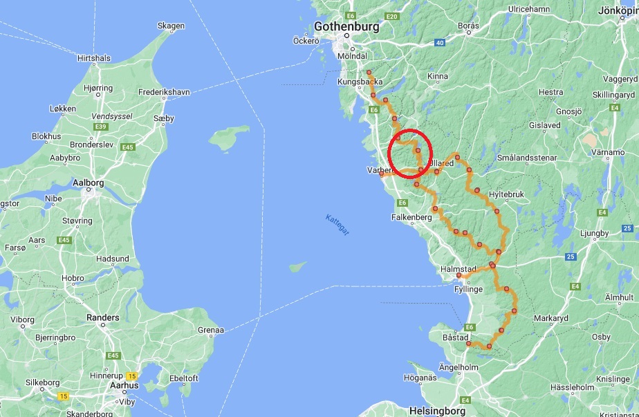
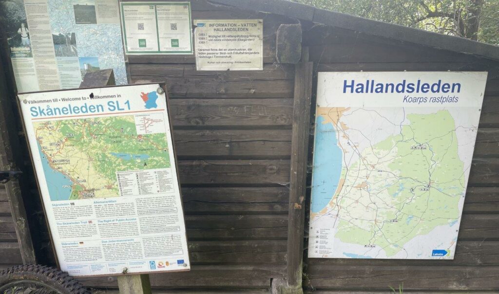
The trail hooks on to Bohusleden in the North and Skåneleden in the South. In the middle there is a choice of a longer and more hilly Eastern route and a shorter more flat Western route. I of course did the Eastern part.
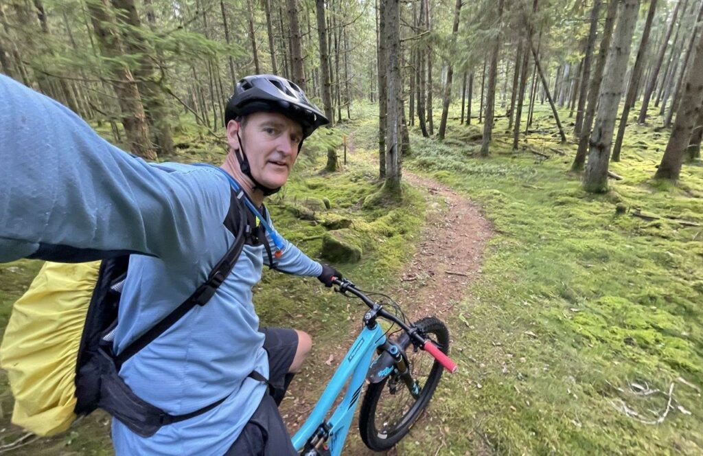
First Part: Fjärås-Göteborg, May 7
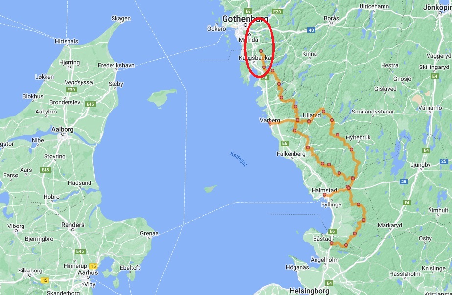
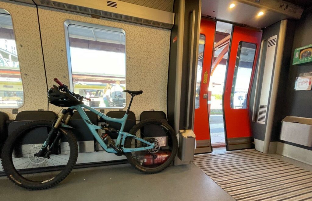
My plan was to do the whole trail from North to South but as it turned out I did the part North of where I live North bound, connecting to Bohusleden and continued to Gothenburg and took the train back home.
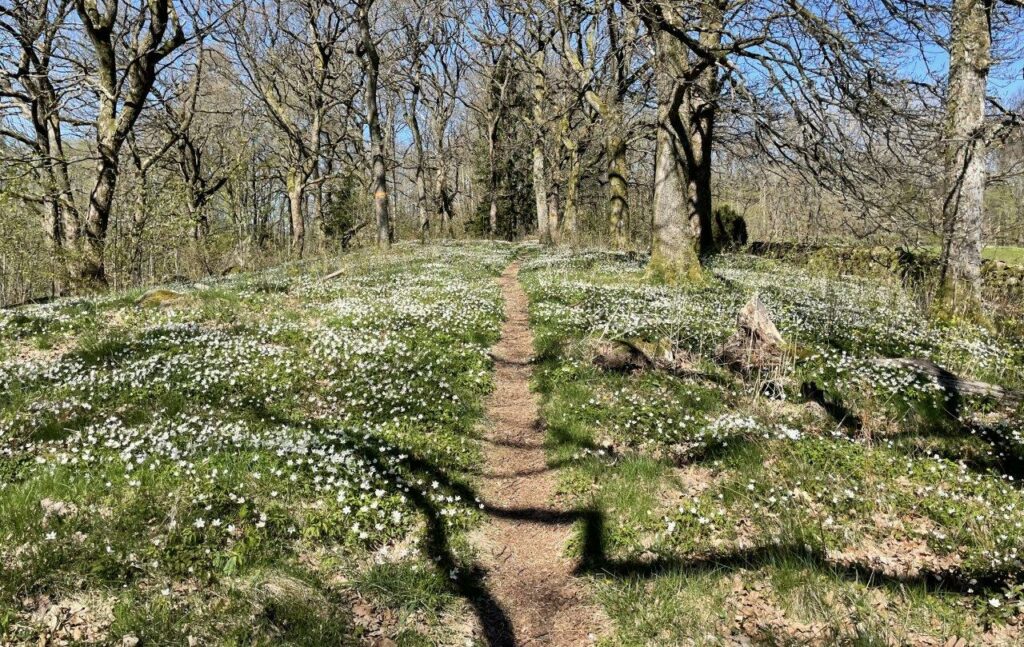
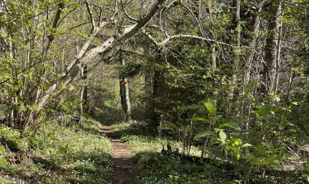
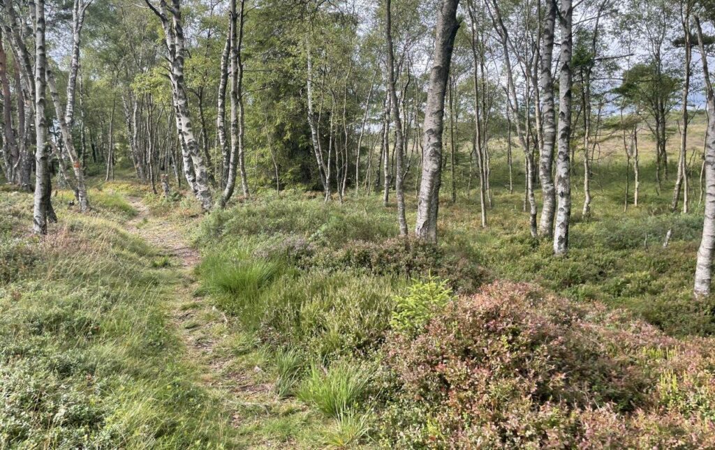
Wood Anemones form a white carpet in the rolling landscape at this time of the year.
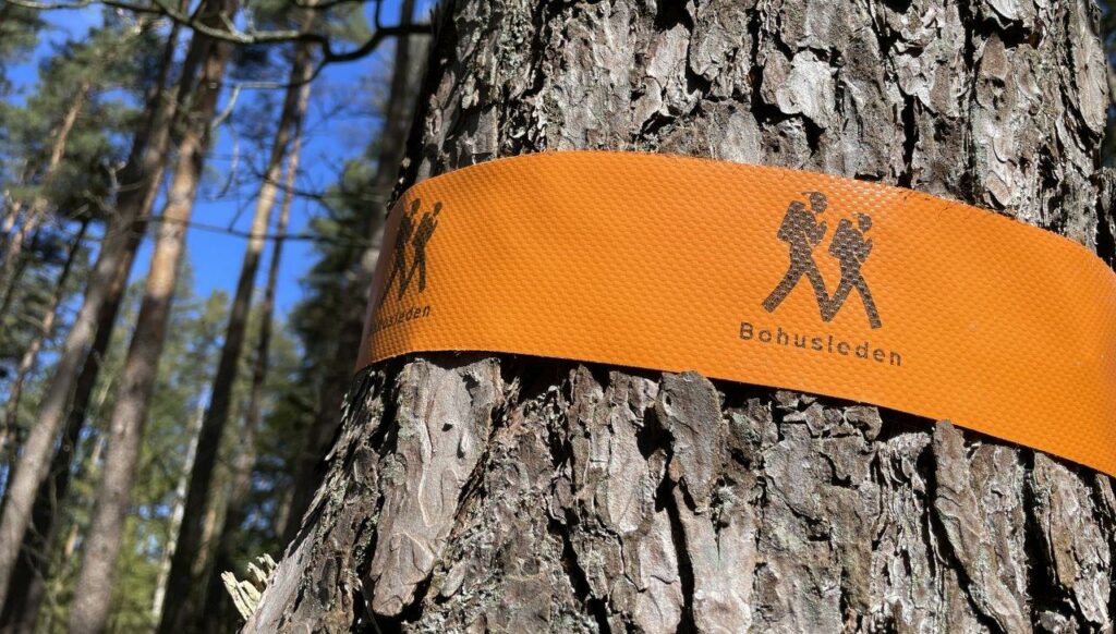
Quite soon I reach the point where Hallandsleden from the South, connects to Bohusleden continuing further North. I keep going, now on Bohusleden.
The bird likes flying 😊
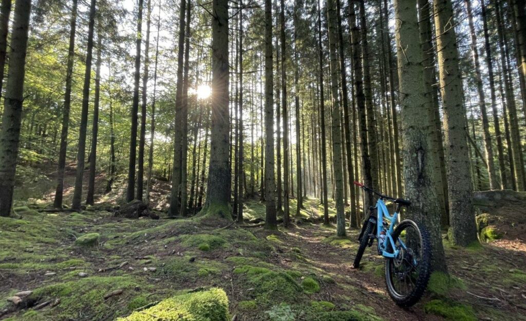
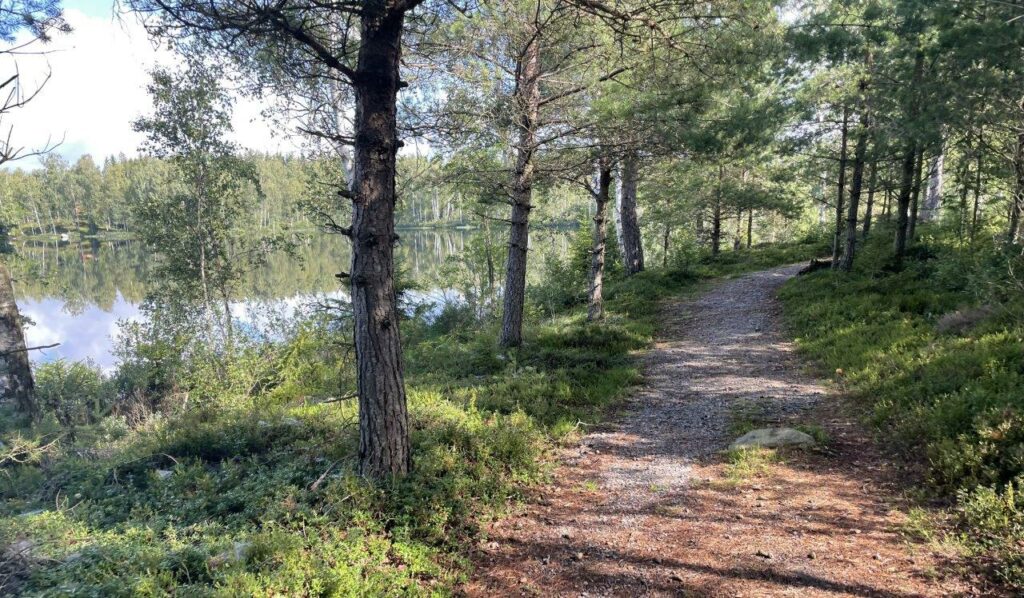
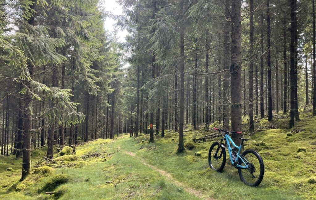
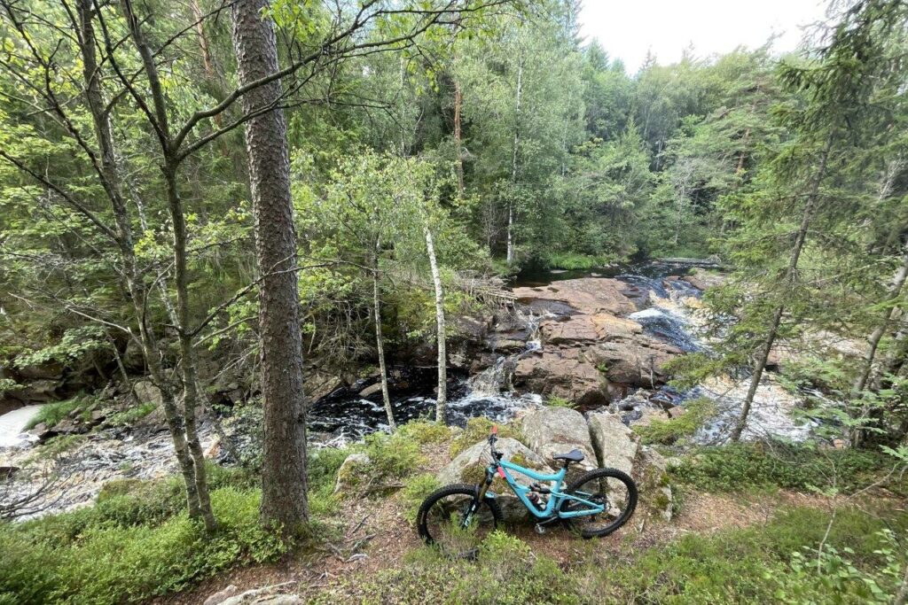
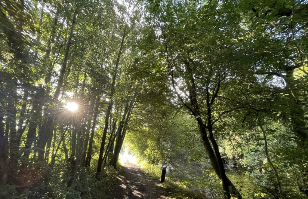
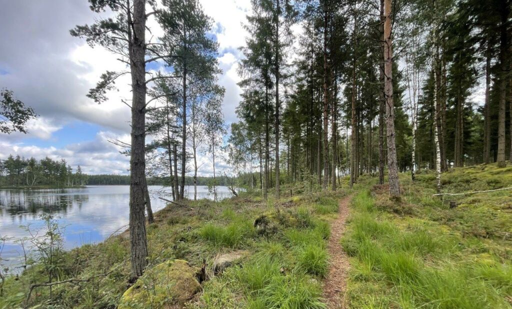
You pass Horsickan before entering the trail paradise of Delsjön. By now I’ve been biking in 36 countries and still regard the Delsjön area to be on the top 5 places to bike – in what I’ve seen so far.
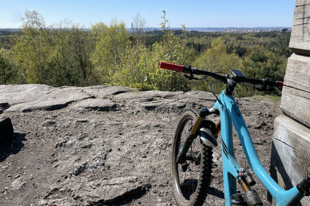
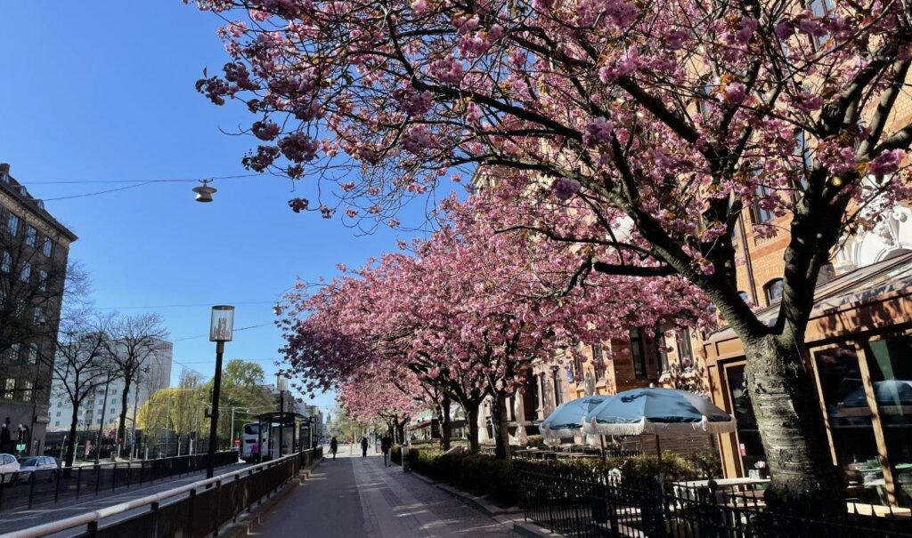
These are some of the trails I used to have in my back yard when living in the city some 20 years ago and it’s a blast hitting them all the way down to the blossoming trees in the city center.
Ride data part 1: Åsa – Fjärås – Delsjön – Gothenburg
- Length: 74,39 kilometers
- Time: 5h48min
- Climb: 1.404 meters
Second Part: Fjärås-Veddige, June 5
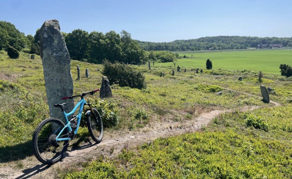
Back to Fjärås, but this time by car and with the intention to do the rest of the trail in the direction of North to South. The Ocean is in the back when you drop into the grave field form the Iron Age.
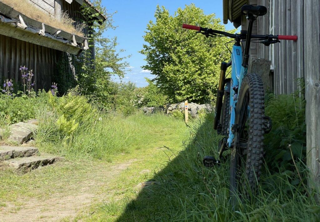
After some trail sections you have to cover some gravel roads before starting the climb up to Äskhults by. A historic hamlet with roots back to the 17th century.
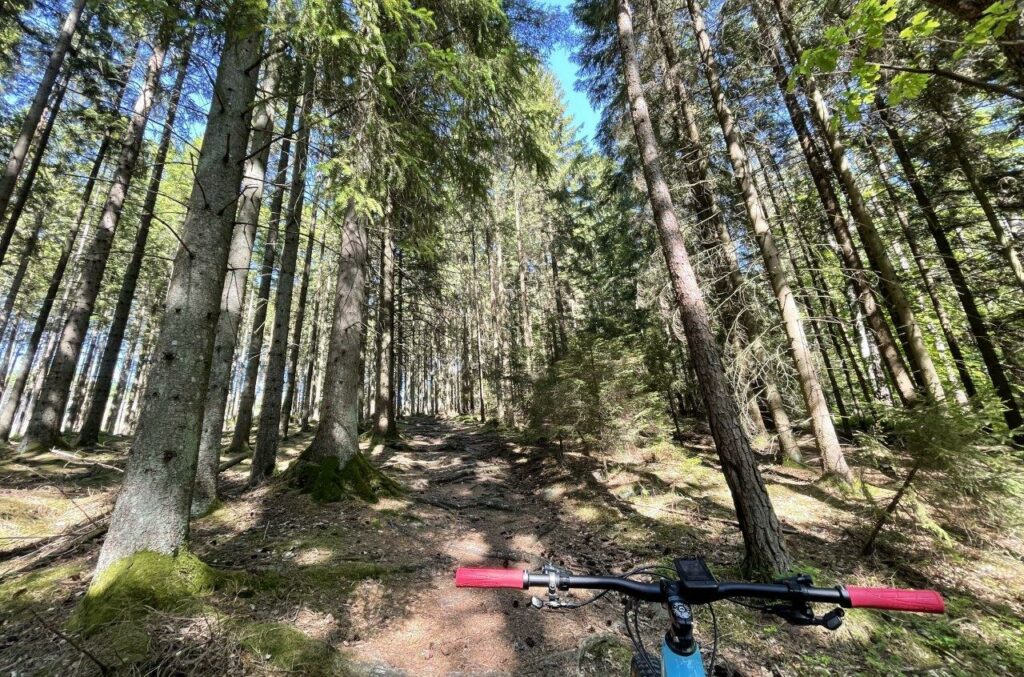
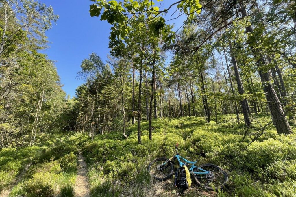
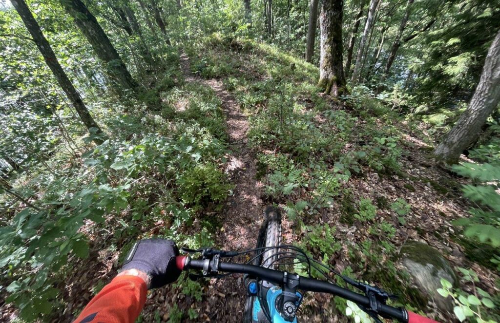
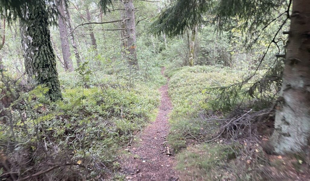
The trail is mostly single track and I’ve done most of it before and go with the flow.
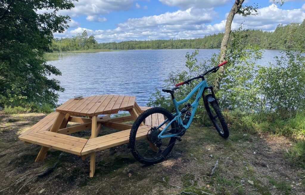
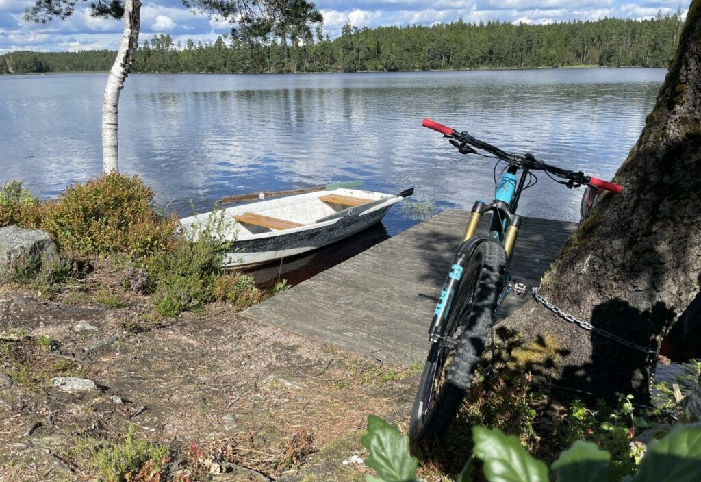
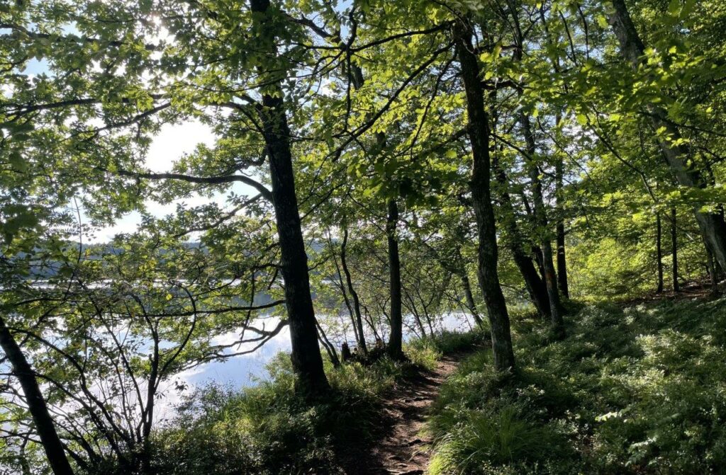
Stättared and the lake of Stora hornsjön make a nice stop for a snack.
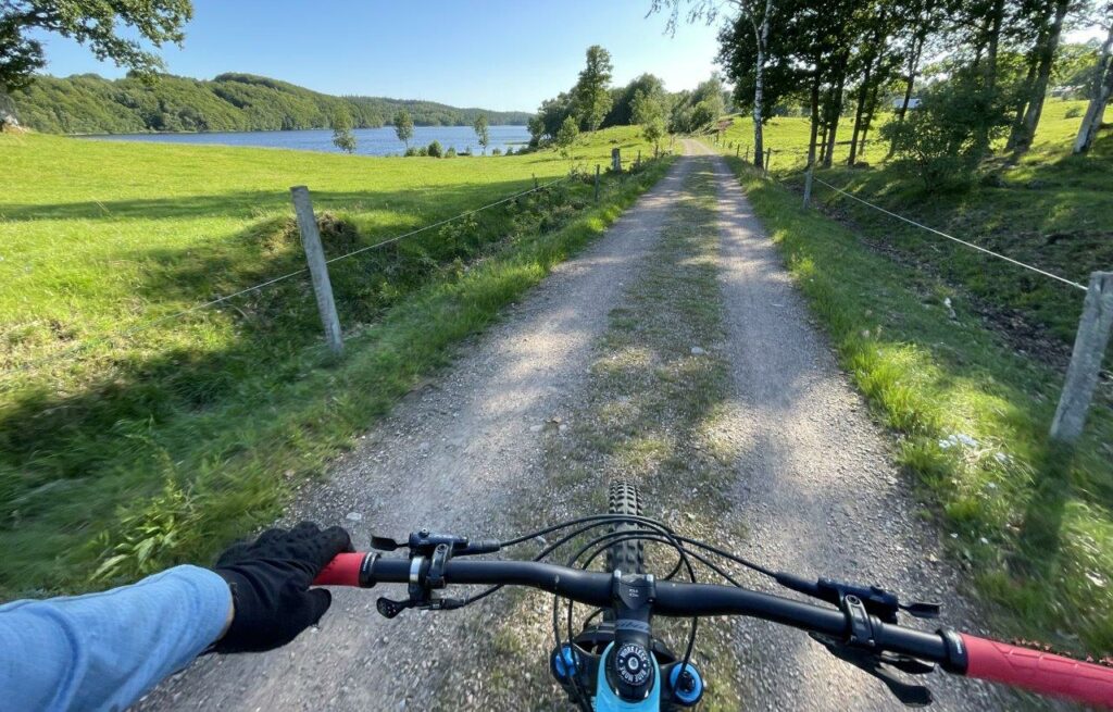
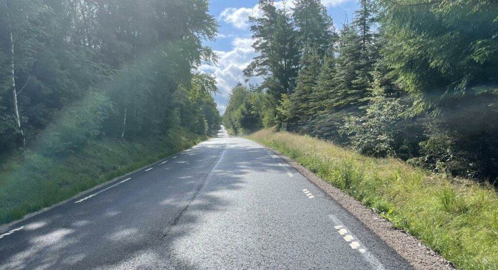
From there it’s mostly gravel roads to Veddige, where I’ve arranged a pick-up. Not so exiting after all the great sections of single track but still a beautiful landscape.
Ride data part 2: Fjärås – Veddige
- Length: 41,2 kilometers
- Time: 3h12 min
- Climb: 876 meters
Third Part: Veddige-Åkulla, june 6 – Swedish National Day
This time I couldn’t arrange a drop-off and pick-up so I parked the car in Veddige and knew from the beginning that I’d have to make it back somehow.
The ride starts with a very steep climb and the views are rewarding.
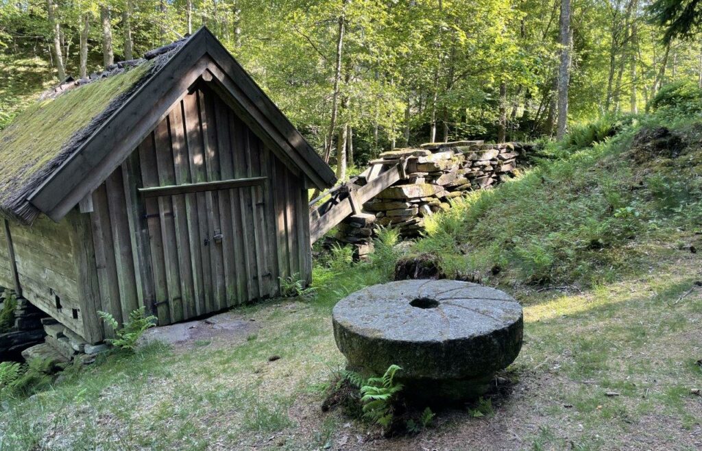
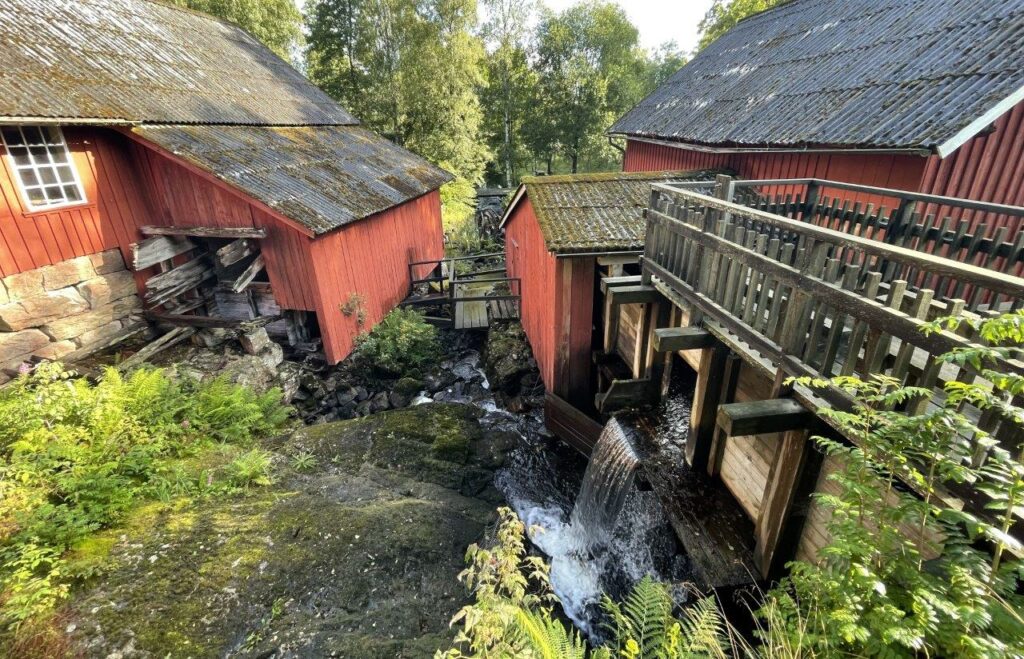
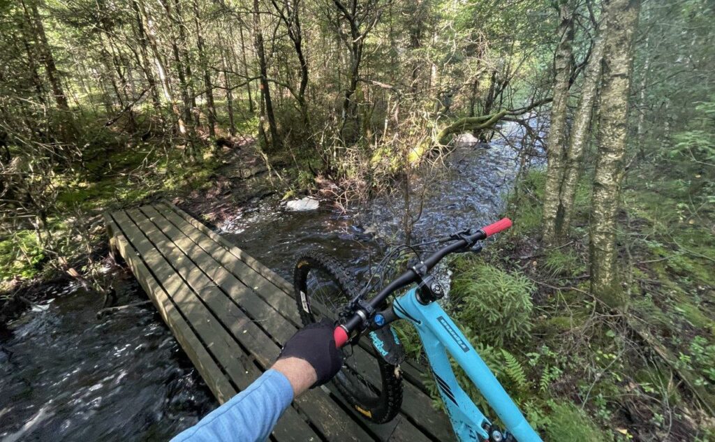
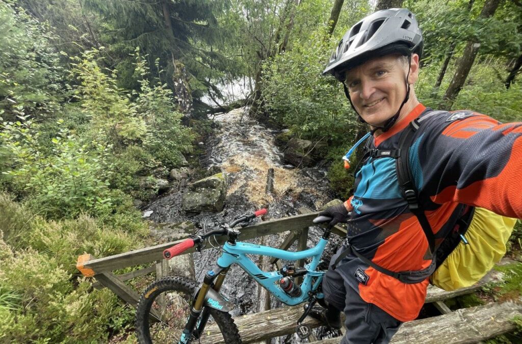
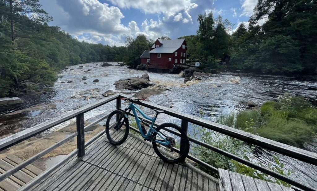
Just around the corner the trail is passing a number of small Mills along the little creek of ”Ulvatorpsbäcken”. They date back to late 1600. Apparently, there were up to 15 of them, even though the vertical drop is only 60 meters. Each farm had their own or maybe shared with one other farm.
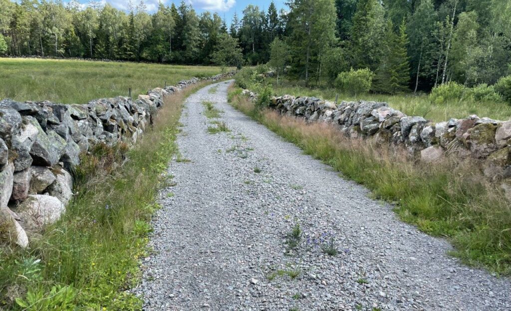
The climb up from Valasjön is right next to one of all the stone fences reminding you of all the hard work done when the fields were cleared for farming.
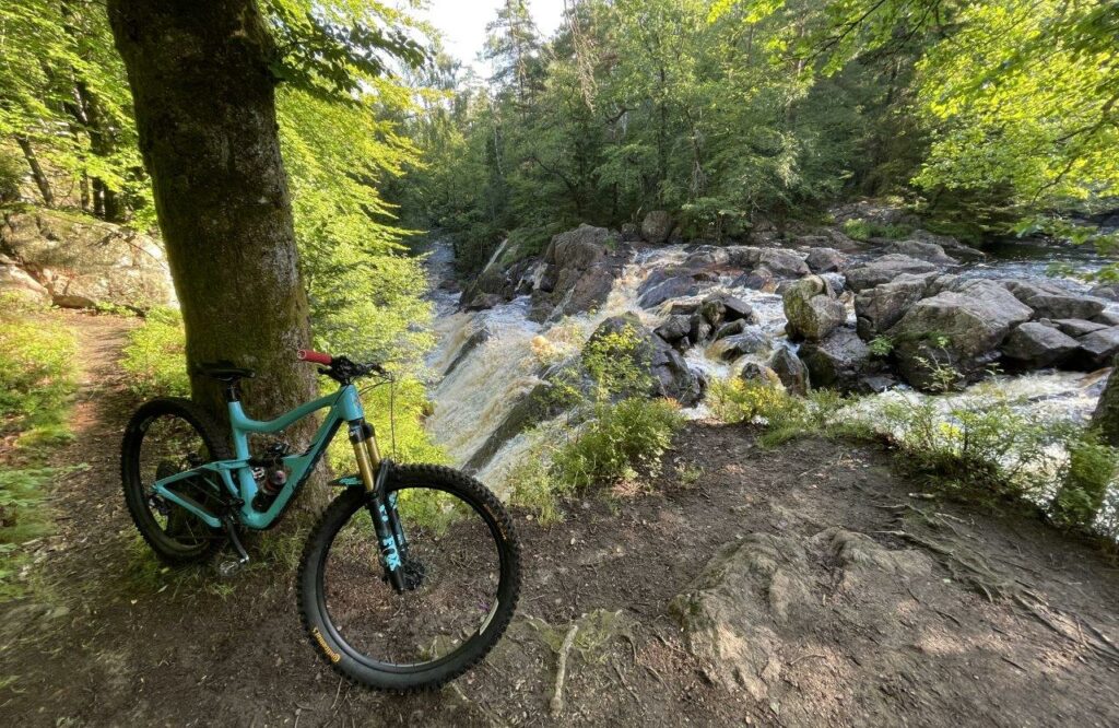
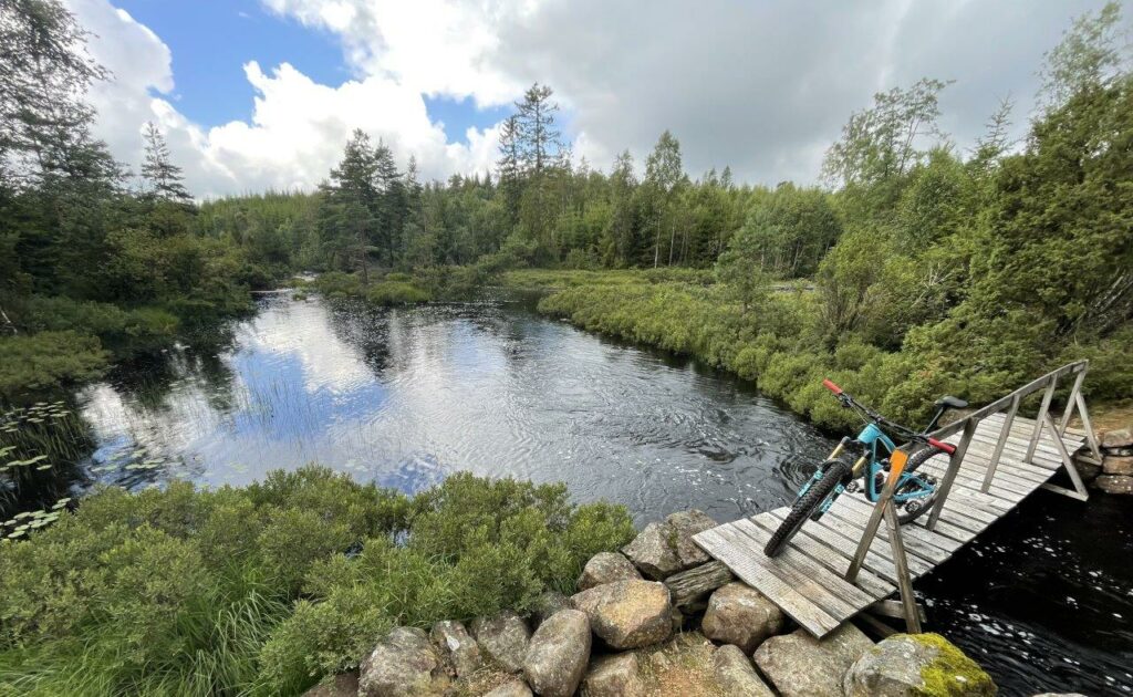
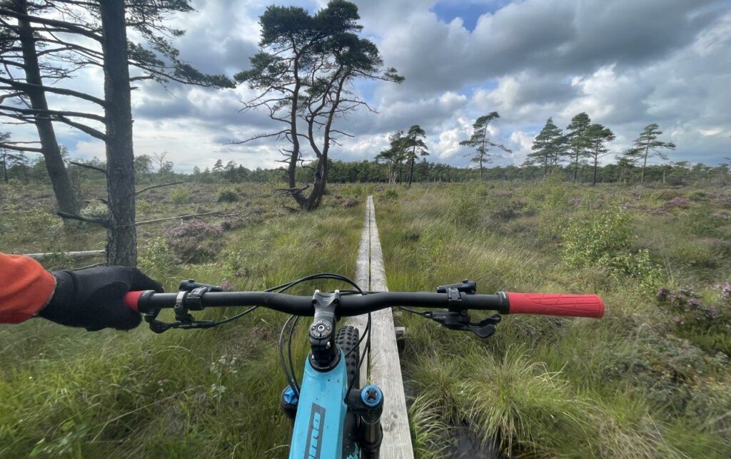
Stora Neten:

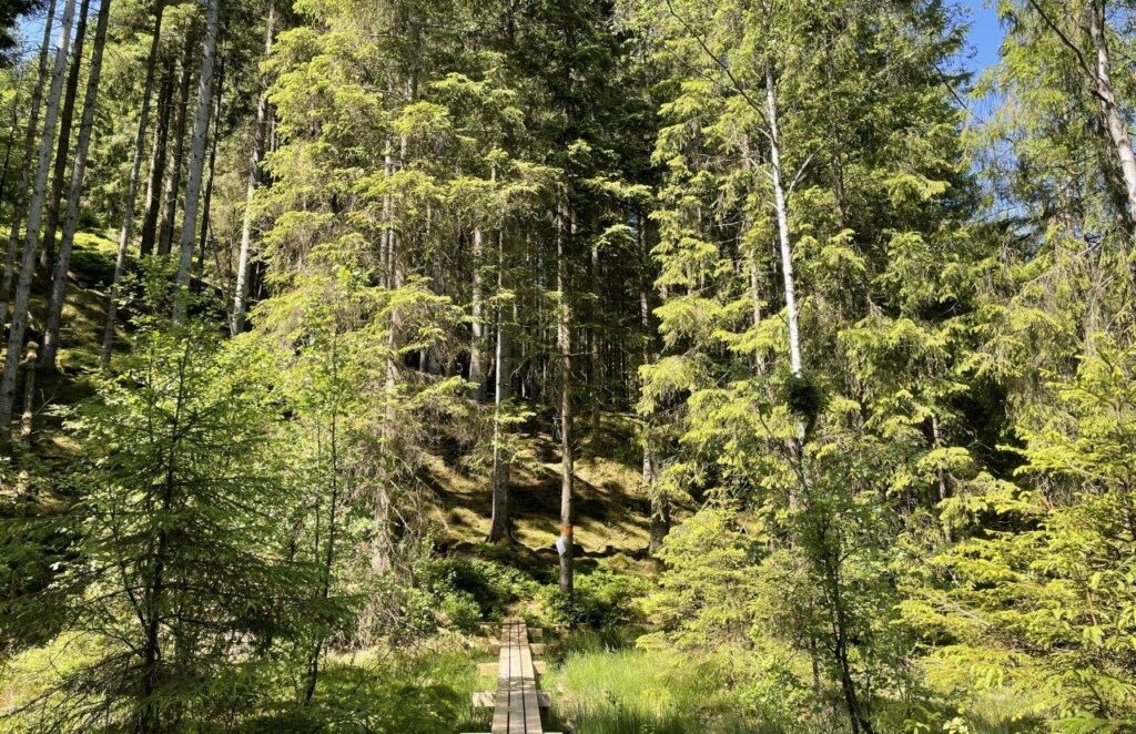
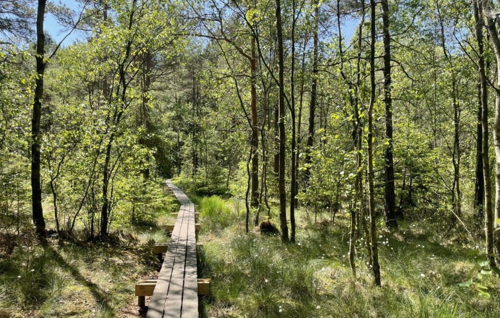
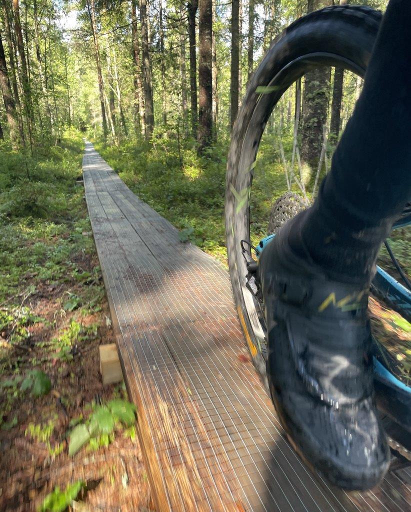
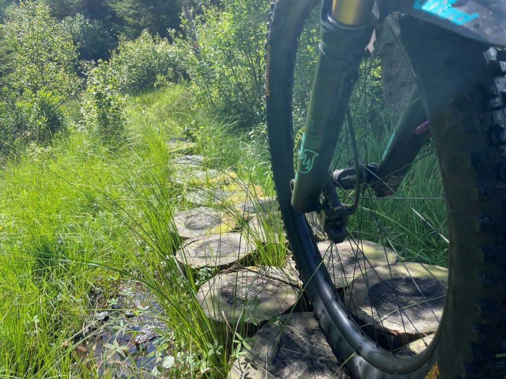
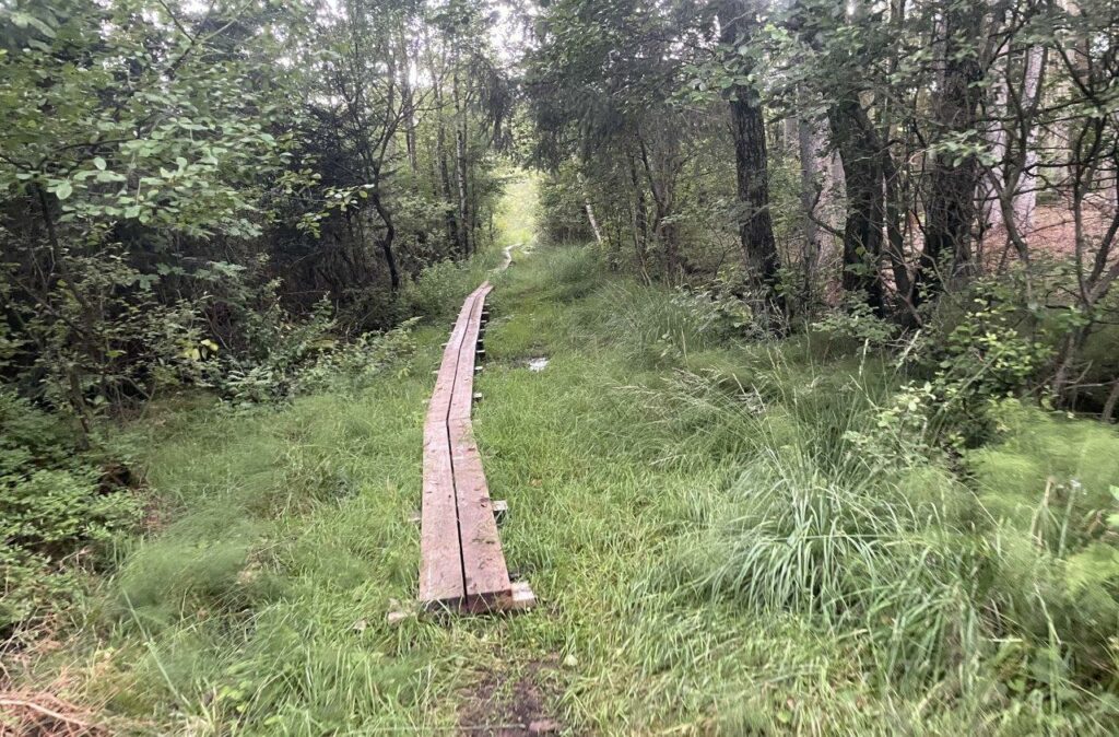
Many times the trail is made of wooden planks over the wet areas.
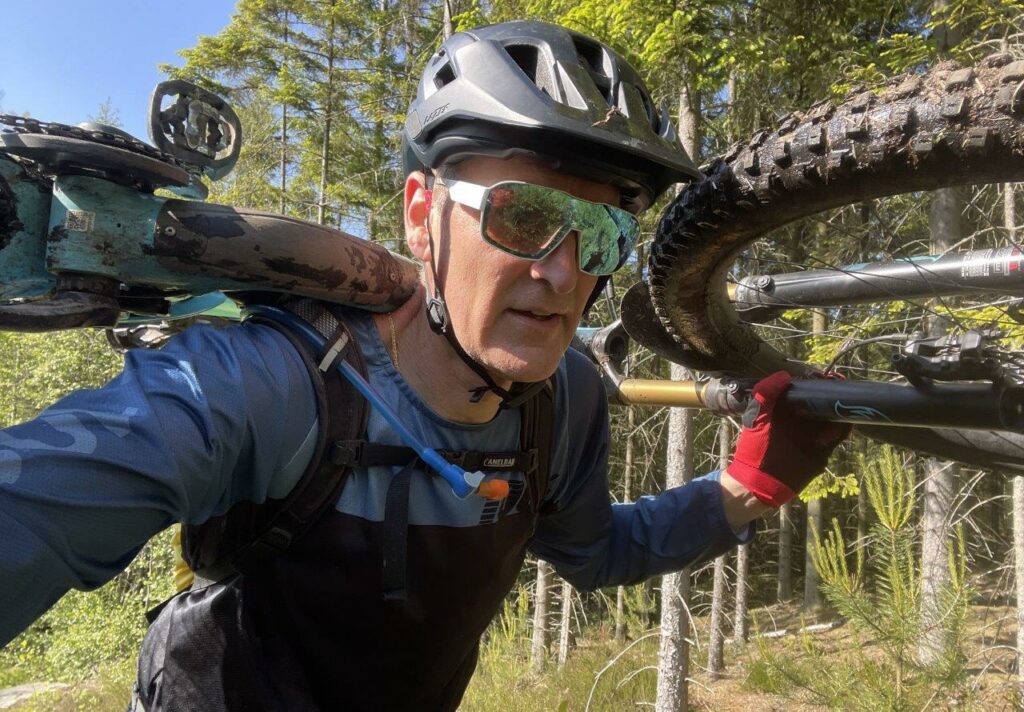
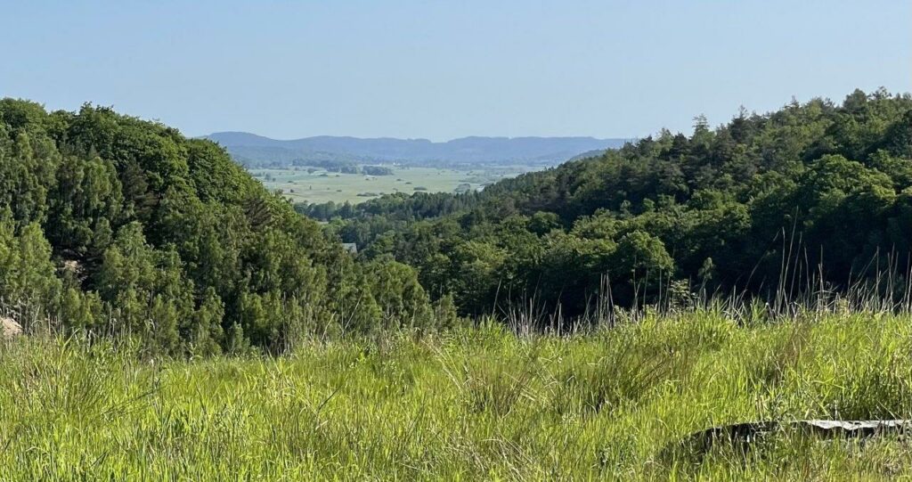
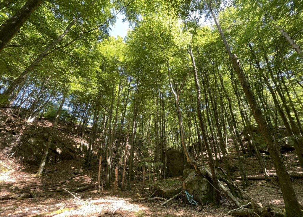
After three hours with a lot of climbs I’m starting to get drained on energy – nothing left of what I brought with me. But knowing that there is a restaurant in Åkulla is extremely motivating. The landscape becomes even more hilly. Entering the beech forests means I’m close. It’s like biking in a majestic open room when there is no undergrowth.
Finally: Åkulla.
I’m exhausted when arriving at the activity center (biking, hiking, XC skiing…) and you can maybe imagine my mental collapse when I realize that the restaurant for some reason is closed…
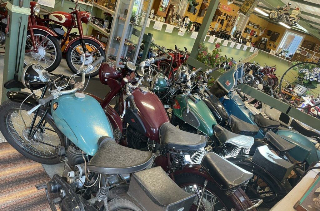
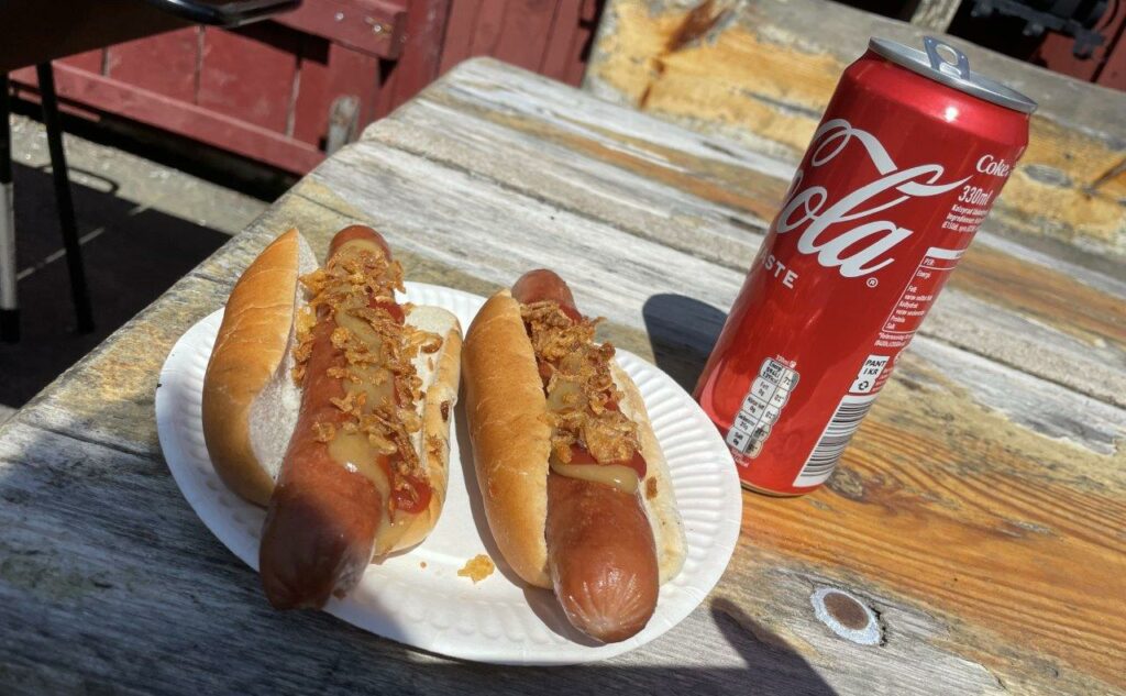
I study the maps and head for a village with a small grocery store. The pedaling is heavy on the hilly tarmac roads, but what do you know… Some guys running a private Motorbike Museum has an event and serve hotdogs and pastries. I’m saved! Quick energy!
I’m back in the game and find a nice combo of tarmac and gravel roads back to the car.
Ride data part 3: Veddige – Åkulla (and back on roads)
- Lenth: 72,04 kilometers
- Time: 5h11min
- Climb: 1.419 meters
Forth Part: Åkulla – Halmstad, July 28
Time has passed since the last ride on Hallandsleden. I’ve learnt to plan better regarding calories and I’m ready for it! I knew this was gonna be a long one but maybe not as long as it became… 148,55 kilometers.
Back in Åkulla. This time I’m dropped off by car and will use the Eastern route of Hallandsleden and head for Halmstad and the train back. Lovely feeling at 7 am to have a full day of adventure in front of me.
The first part is great and it’s a good feeling to be back on the trail.
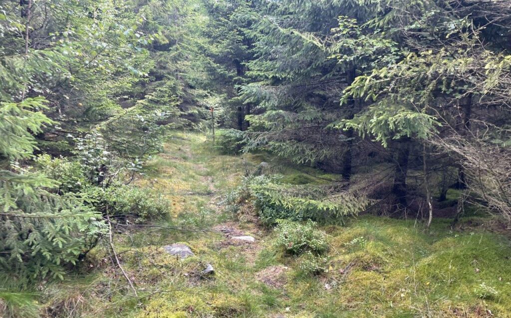
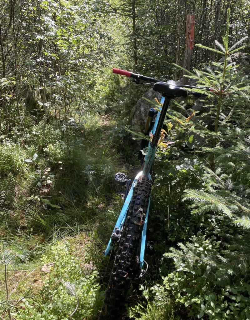
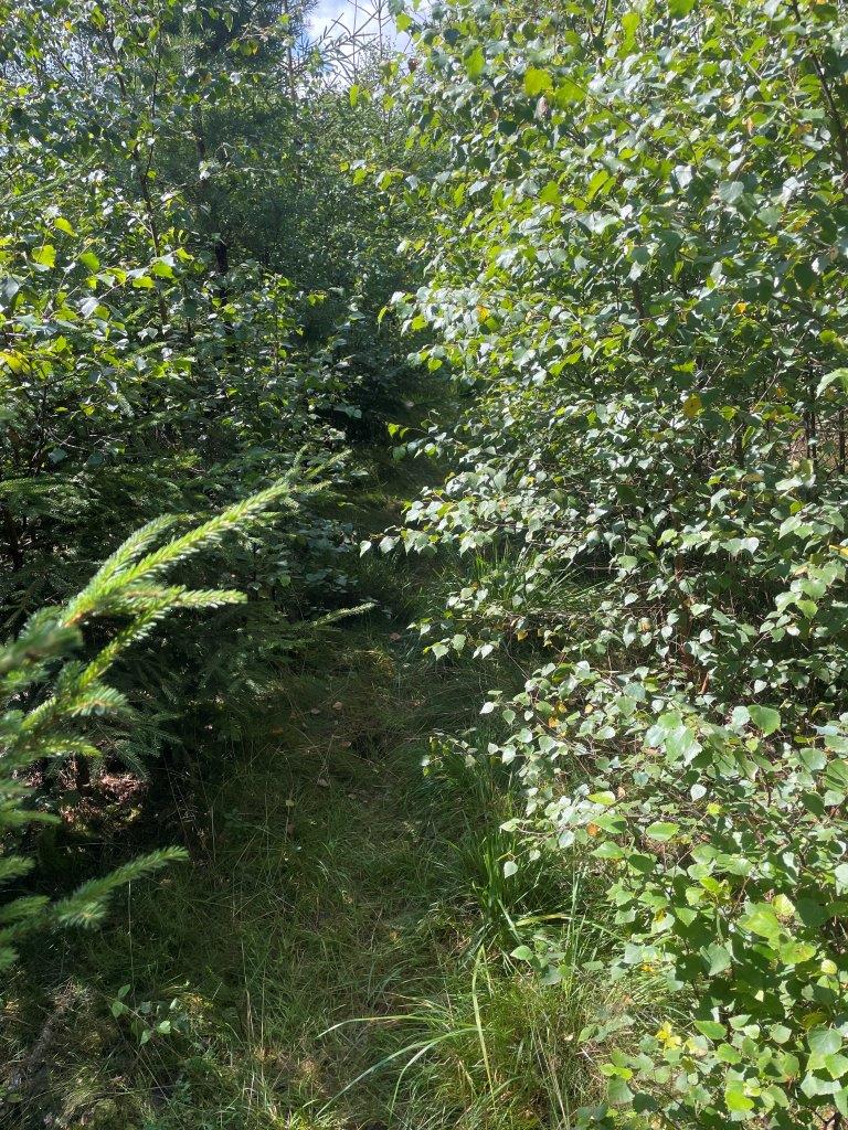
Hallandsleden is not as much used as you think and be aware that some parts haven’t been groomed in a long time and makes it hard to bike or even find the trail markings.
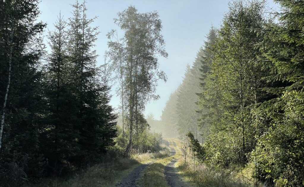
Magic morning…
After Ullared the trails follows Högvadsån river North-East on the embankment of the “Pyttebanan” railway. It was used to connect Halland inlands to Falkenberg. Operations stopped in 1959.
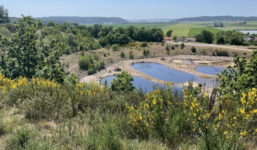
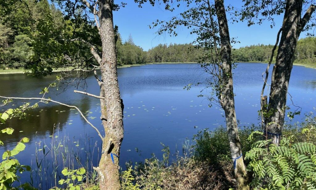
After some 10 kilometers the path turns South again and passes several lakes
Kärnebygd saw and mill makes a great stop for a snack some 30 kilometers in.
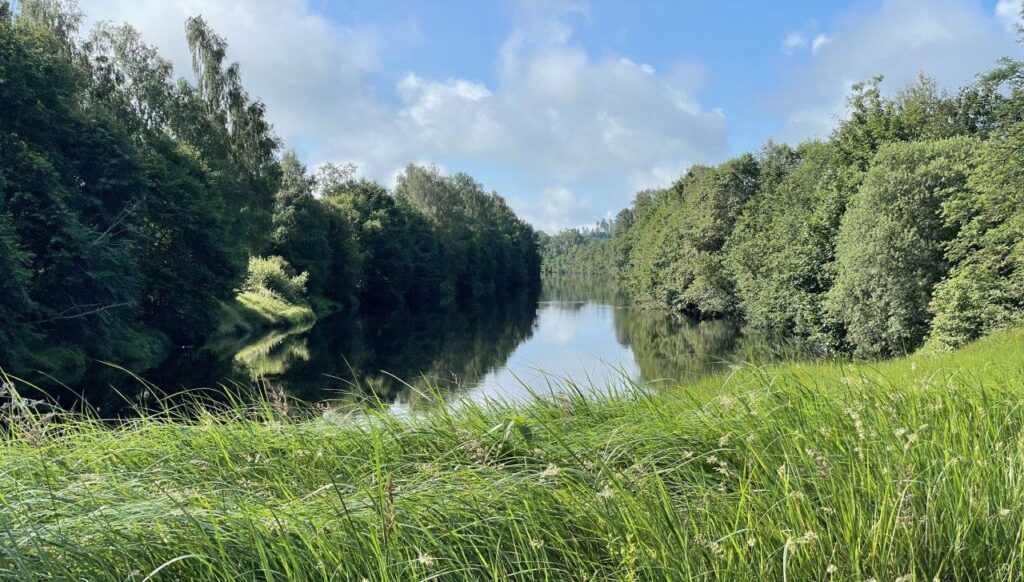
Ätran, one of the four rivers in Halland
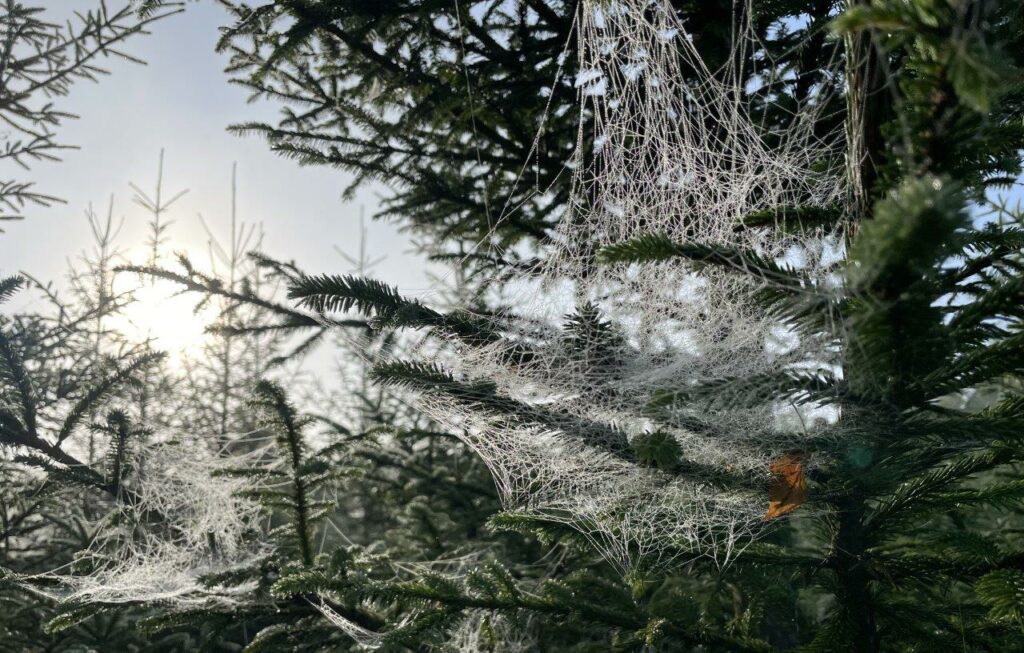
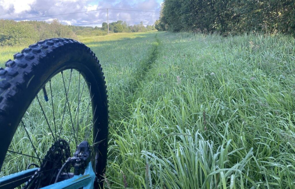
The nights dew in the high grass gets my shoes soaking wet
In the town of Ätran the trail passes through a recreational area and then continues into the woods
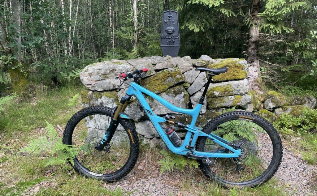
One of the old milestones used here and there.
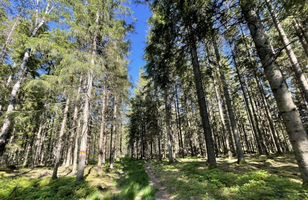
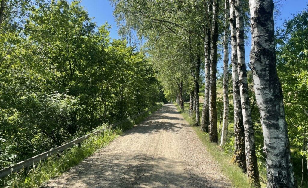
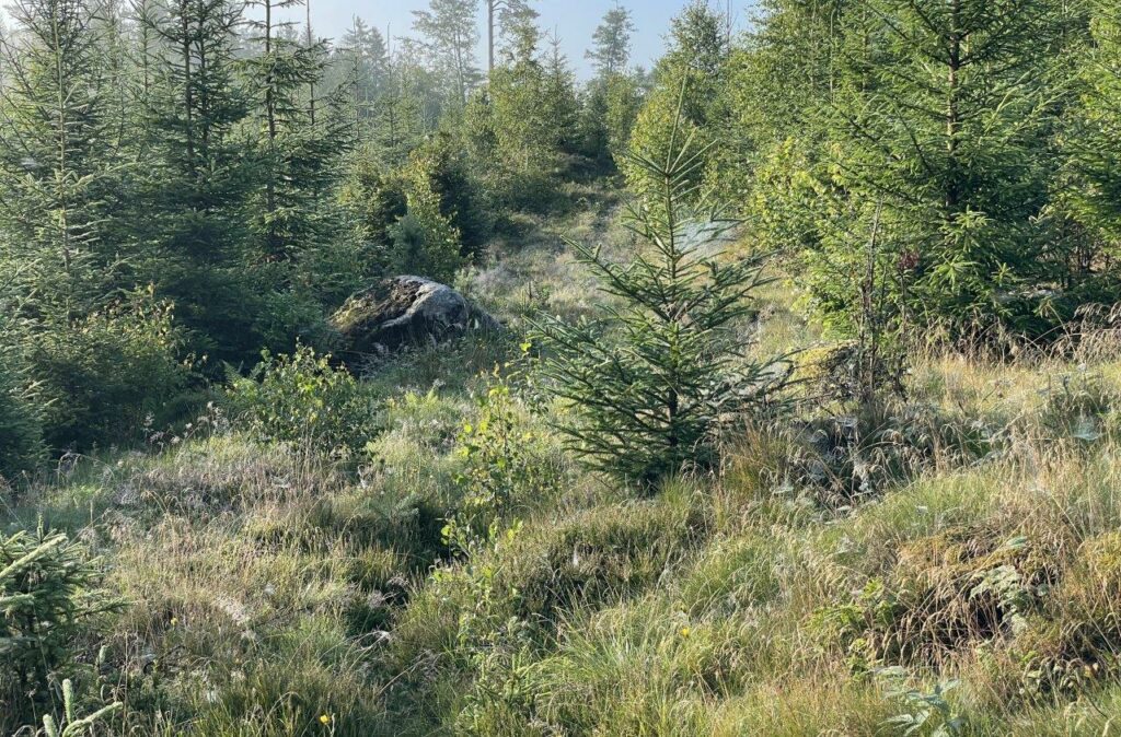
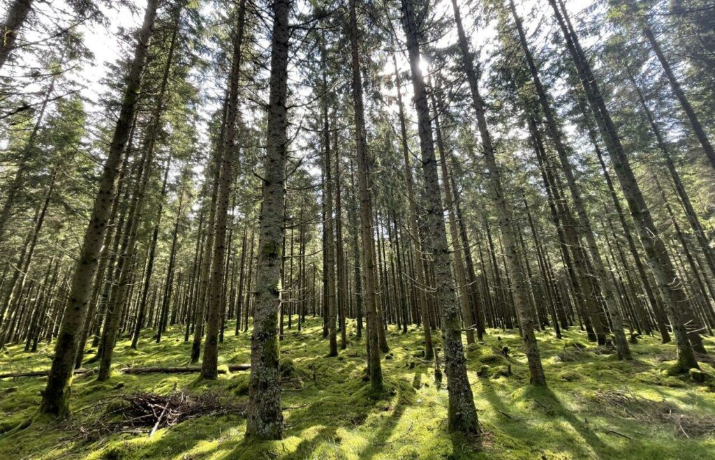
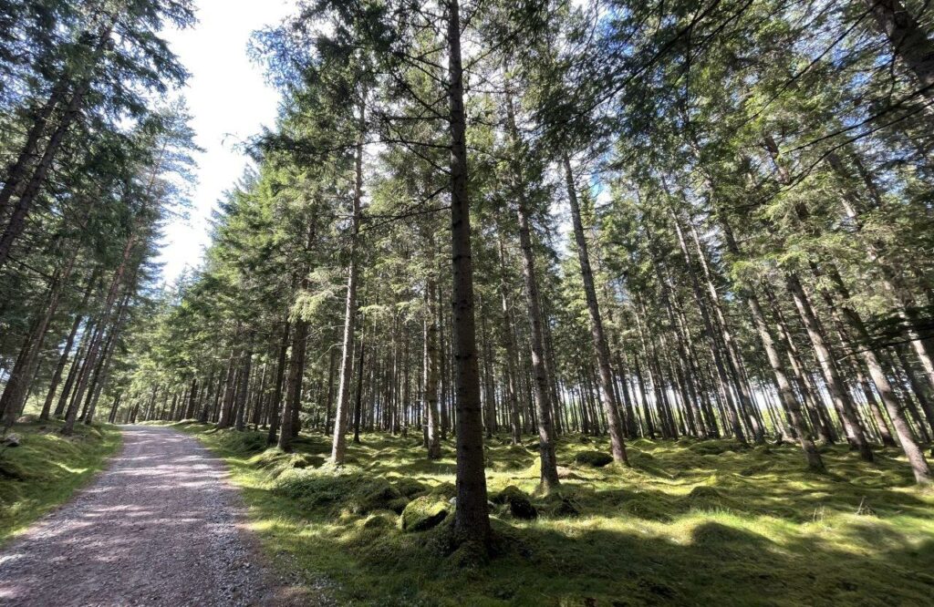
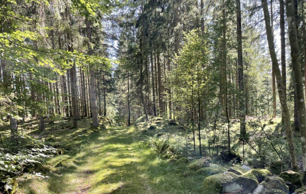
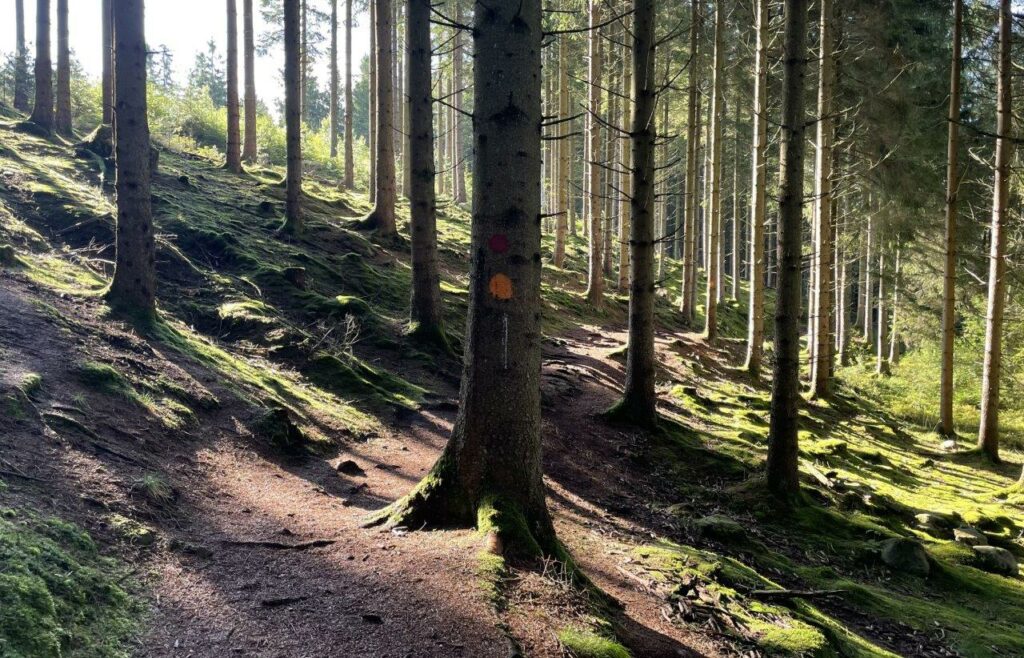
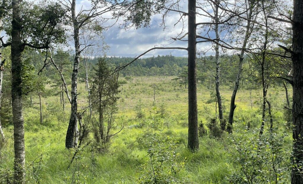
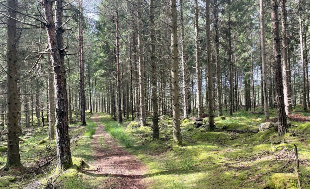
So much of the trail is through forest and even if it’s planted trees and not “natural” it is a lovely scenery.
Until a spoke snaps… Quick fix with a zip tie and then more of the good
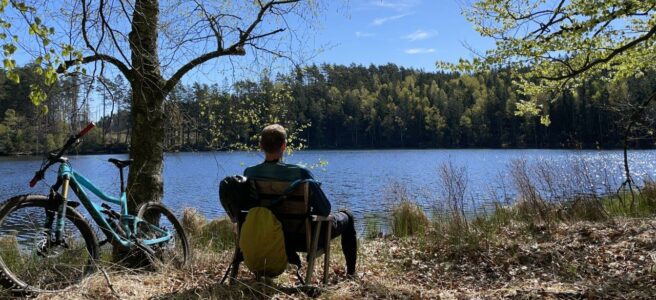
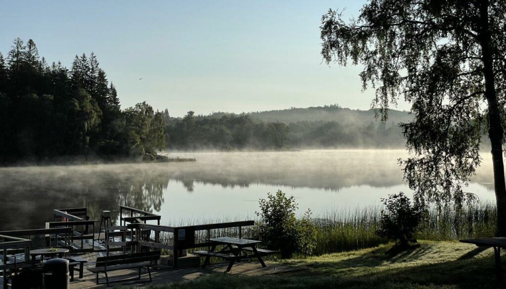
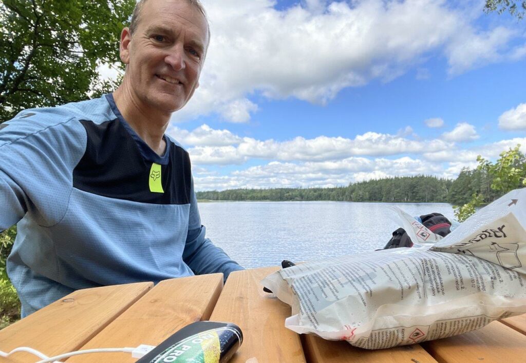
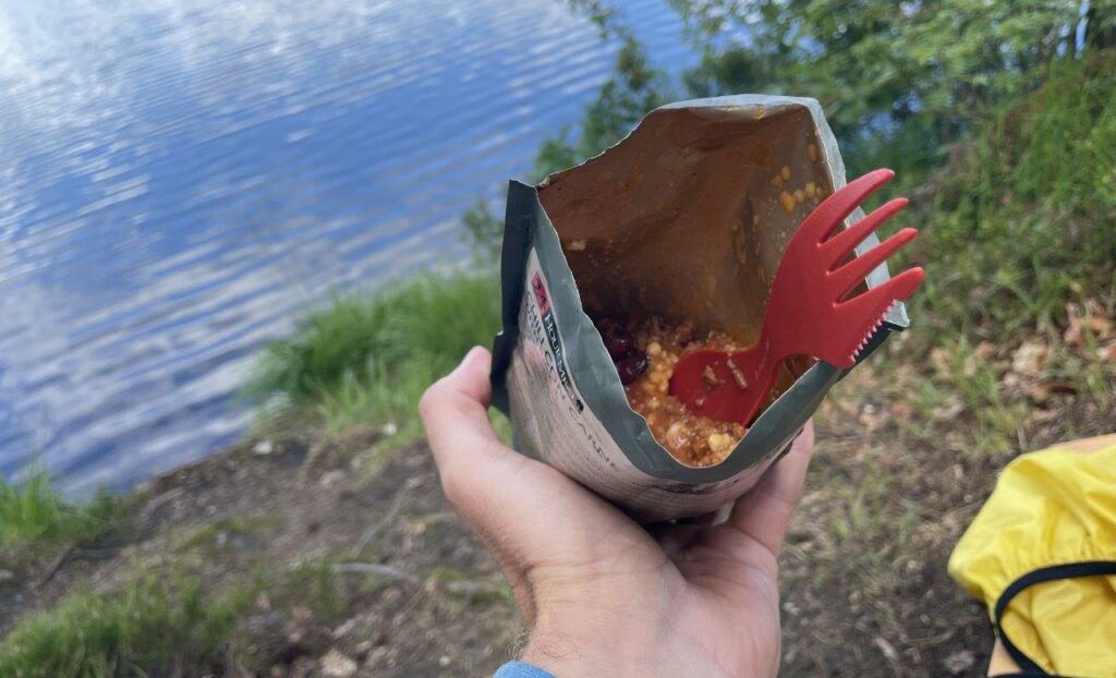
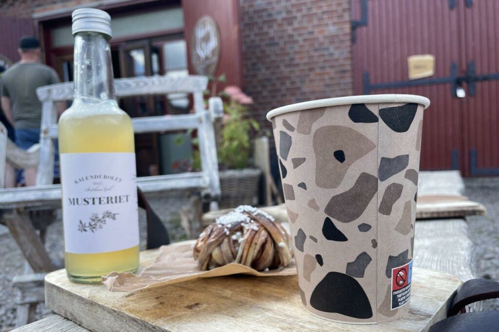
By the lake of Långesjön and 5 hours into the ride I go for lunch. One of the learnings from earlier stages was to plan better regarding calories. And I did. Having a real meal is what is needed and to avoid bringing a full camping gear set-up I opted for the flameless heater bag. Some 5ml of water and the heating gets going. Just put the meal pouch inside and wait for 10 minutes and your Chili con carne is warm and ready 😊
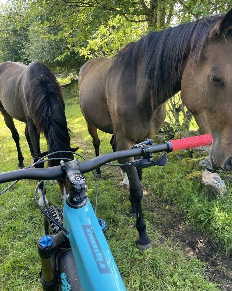
Meeting some friends and enjoying great single track trails with a new type of savior in wet sections
Just before Rydöbruk some bushwacking is needed before reaching yet another one of the four rivers: Nissan.
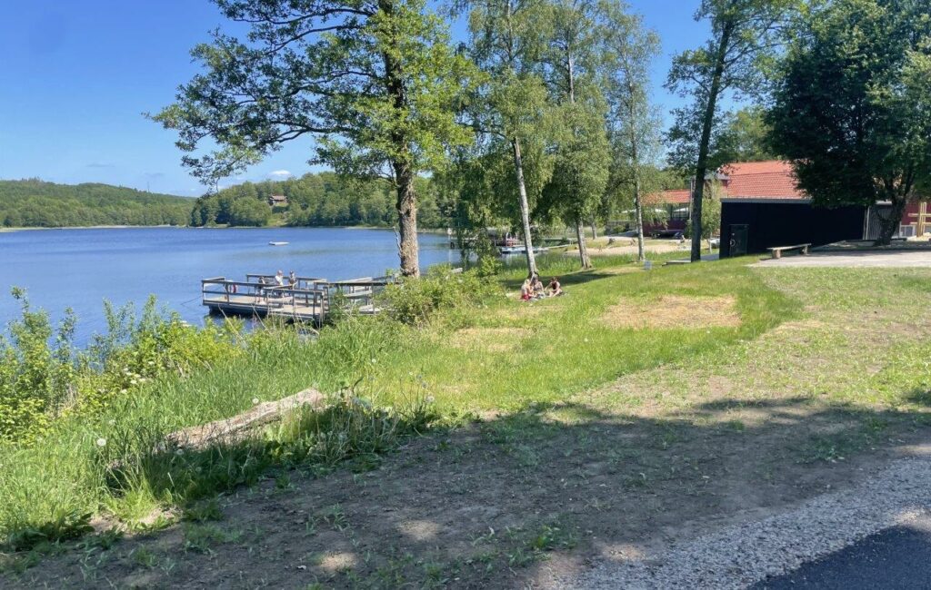
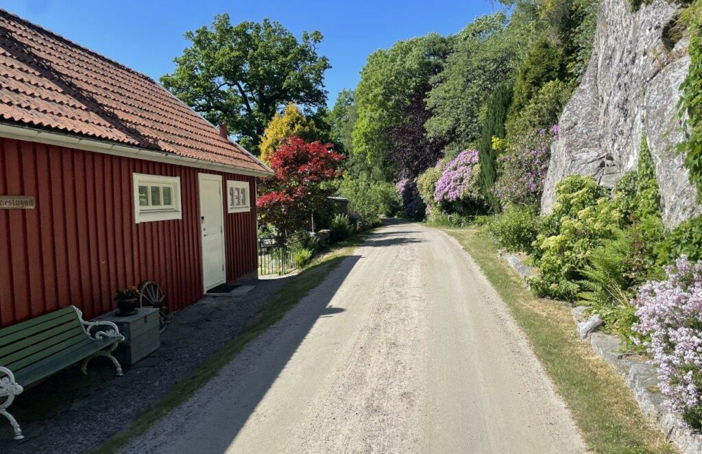
Rydöbruk is right by the river and has its roots in the manufacturing of various iron products and later glass and paper. It’s nowadays a nice place to go for the setting and some Swedish fika at the small bakery/coffee shop. There’s also a nice restaurant there.
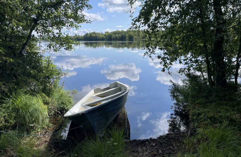
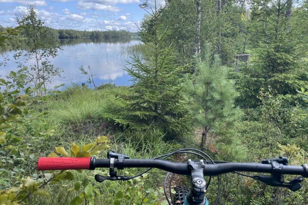
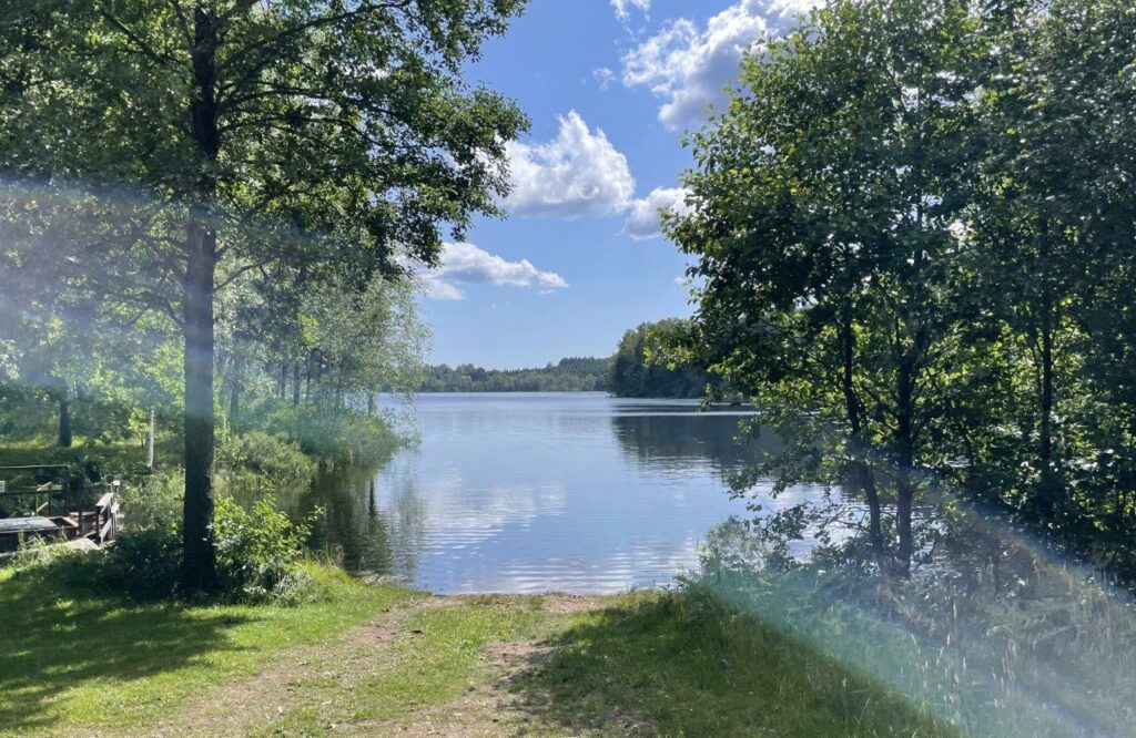
Lakes and lakes. Here close to Mjälahult
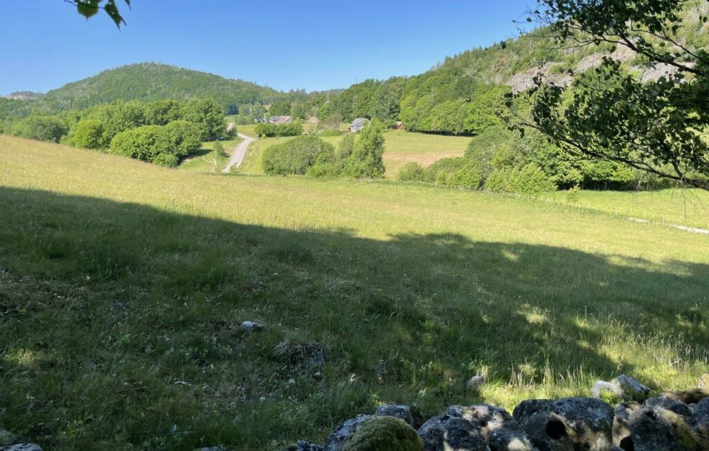
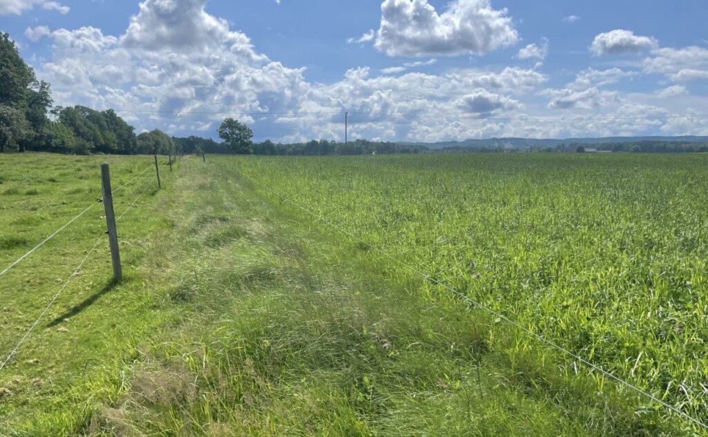
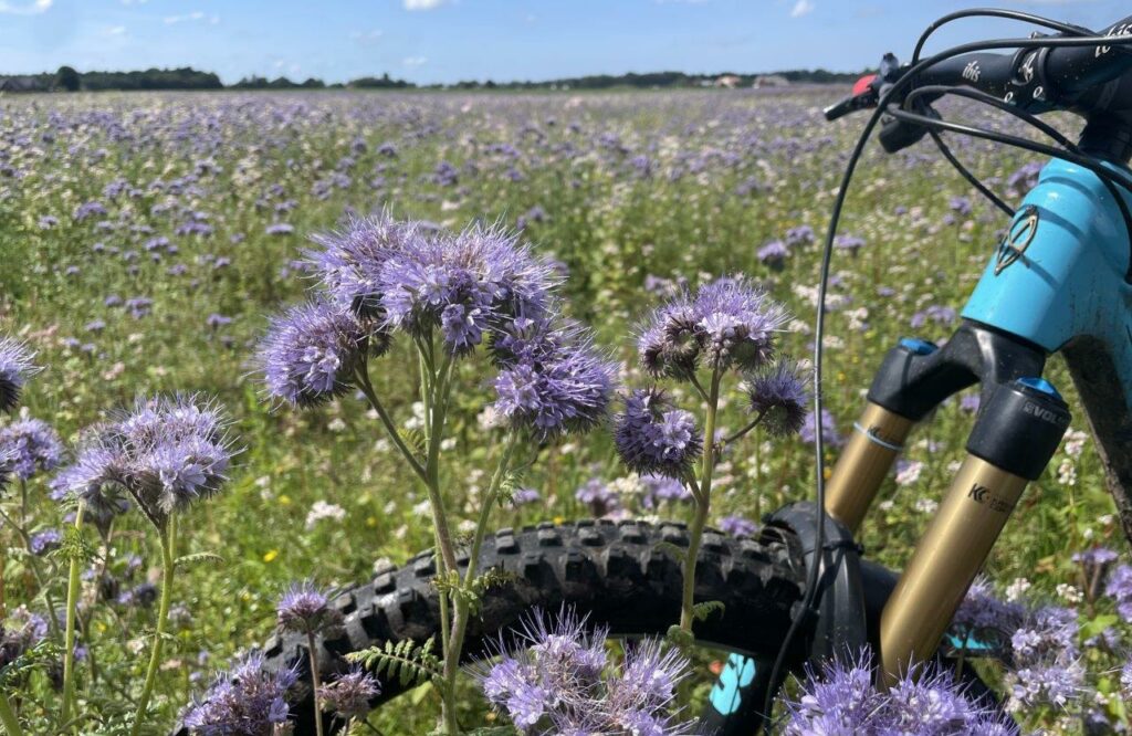
The landscapes keep shifting and the fact that I’m on a trail/enduro bike for more than 100kilometers at this point doesn’t stop me from enjoying the ride. Halland is beautiful!
I’m crossing one of the feeding creeks to Fylleån river.
The energy planning has been successful, and the ride is still enjoyable along Simlångsdalen after 125 kilometers.
The last 20 kilometers are maybe not so exiting as they depart from the true Hallandsleden and is more of a connector to the city Halmstad. Still… you follow a railway embankment more or less all the way to the city. Bit of a surreal feeling to be back in civilization and jump onto a train but also rewarding after my longest ever MTB ride.
Ride data part 4: Åkulla – Halmstad
- Lenth: 148,55 kilometers (plus home from the train station…)
- Time: 8h56min
- Climb: 1.327 meters
Fifth Part: Halmstad – Båstad, August 2
Only five days since the last part, but why not close the project when there anyway was a day of no rain forecasted. Another long one in front of me.
The challenge of being self-sufficient when it comes to transport made me take the car to Halmstad and get back there by train from Båstad. The only downside is that I had to do the connecting 20 kilometers to get on to the “real” Hallandsleden. But it became more of a nice warm-up and the setting is great along Fylleån river.
At Simlångsdalen the climb starts up to Danska Fall (Danish Falls). The story is that after the battle at Fyllebro 1676, some of the defeated Danish soldiers fled up the river and hid away. The Swedes however caught up and forced the Danes out on a poorly built bridge over the falls. The bridge collapsed and most of the soldiers died.
Great morning and great trails
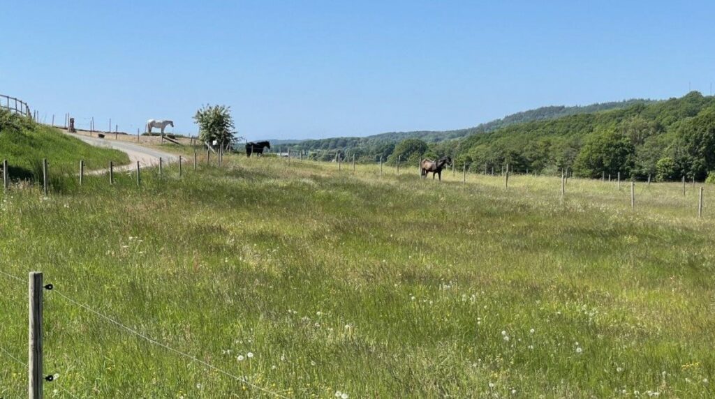
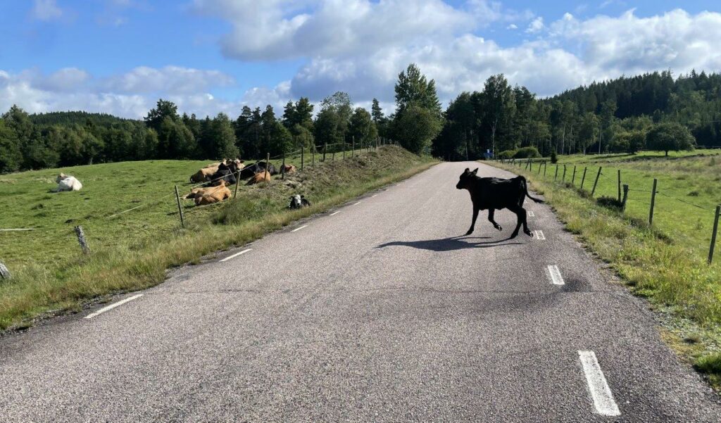
Just after Allered there is a Tarmac section of 5 kilometers. Luckily an unusual feature. This little creature and friend were a bit stressed of somehow having ended up on the wrong side of the fence.
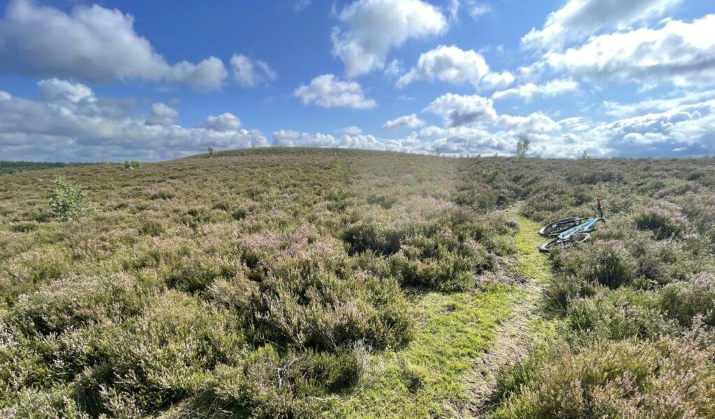
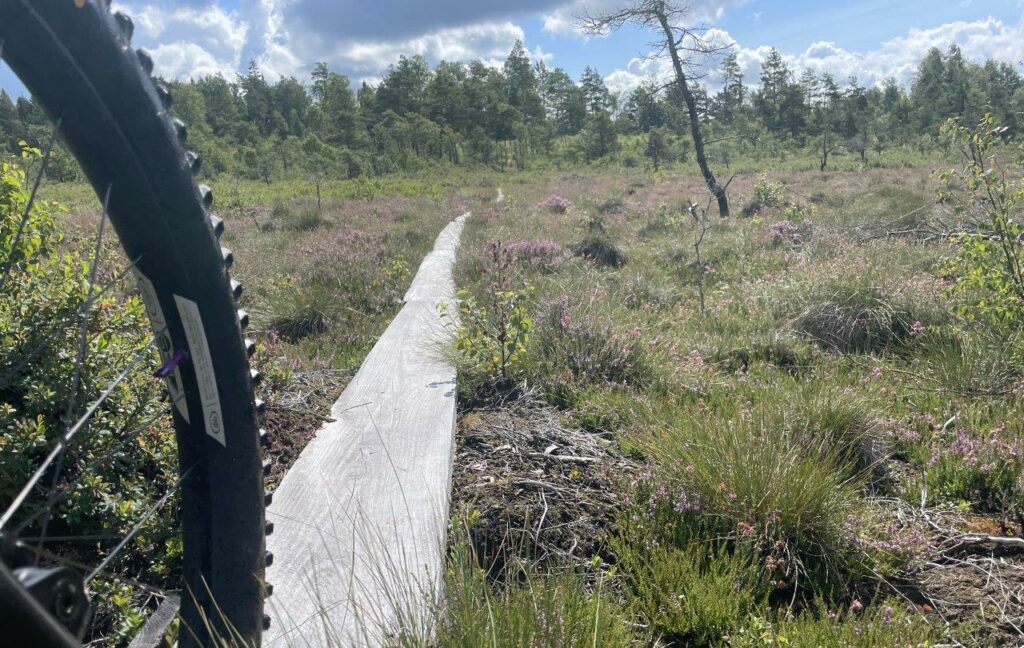
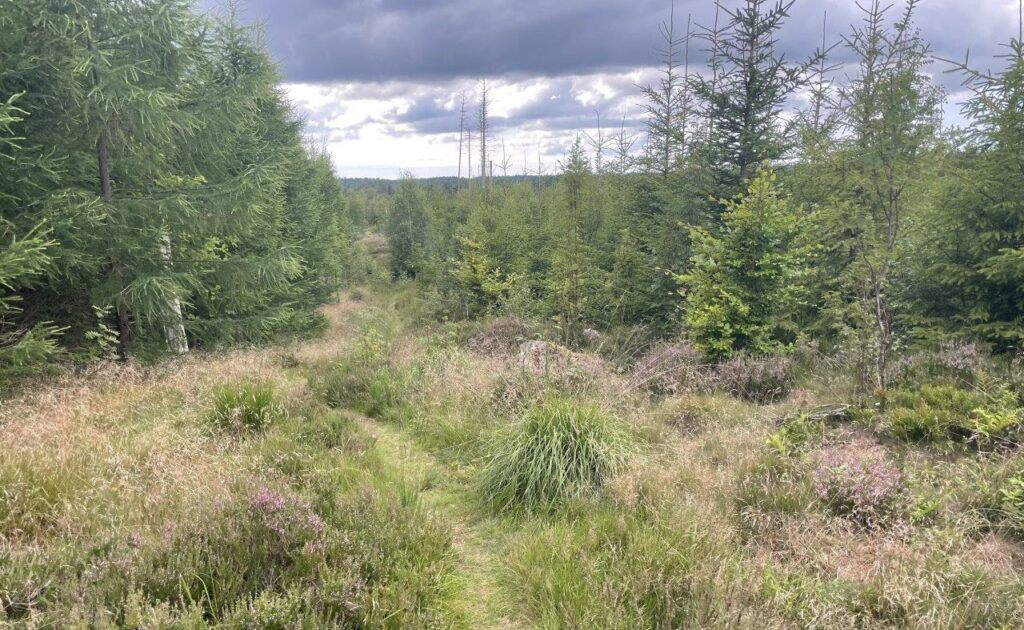
At Mästocka you reach the heather-covered moor that is a remnant of the extensive heath area that covered as much as a third of Halland in the middle of the 19th century.
Wetlands and great trails lead you further South to Knäred, passing Kvarnfallet.
Well… some sections could need some love…
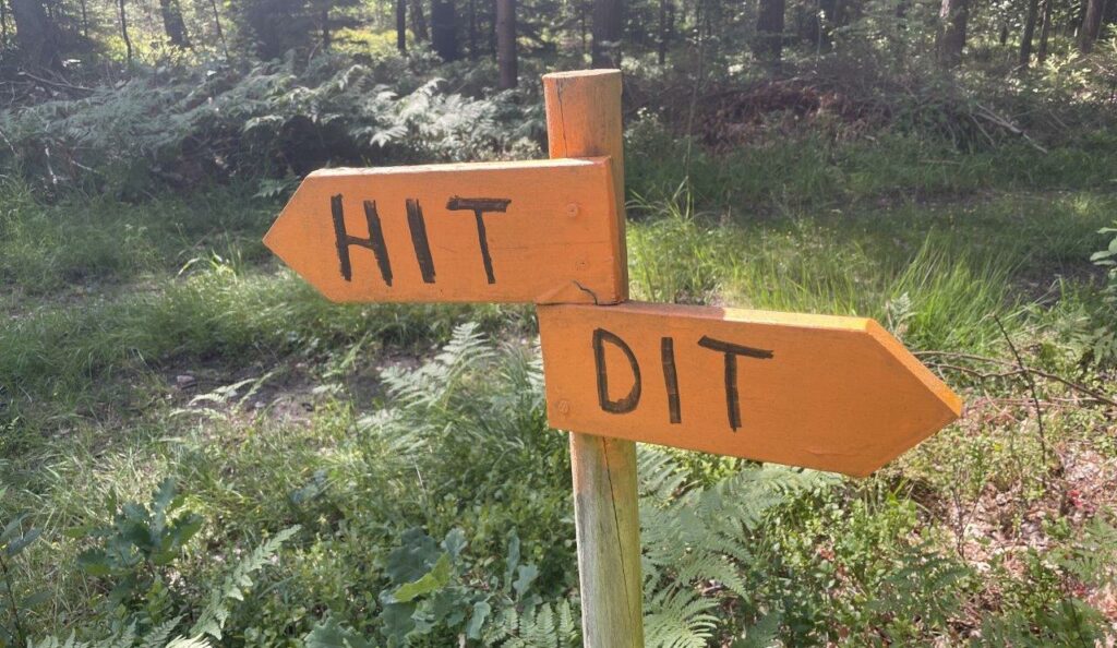
Clear directions (this way and that way, sort of)
Now the landscape flattens out in front of the big ridge dividing The Halland and Skåne counties.
The climb up the ridge is more exhausting than expected. On the other hand… the 100 kilometers so far hasn’t been for free. I go slow and just South of the Bike Park Vallåsen I’m almost at the end of my project as this is the “border” of Halland/Skåne. But Hallandsleden continues along the border for a while before becoming Skåneleden in Skåne.
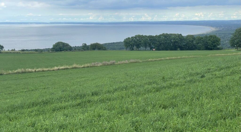
My target is Båstad by the coast. I’m still in Halland and make it up to the highest peak of the county: Högalteknall, 226 meters above sea level. What a disappointment – no views of anything from there, but nice to know that now it’s more downhill until the end destination. The riding is ok and gets really exiting crossing the mire of Älemossen, Skåne.
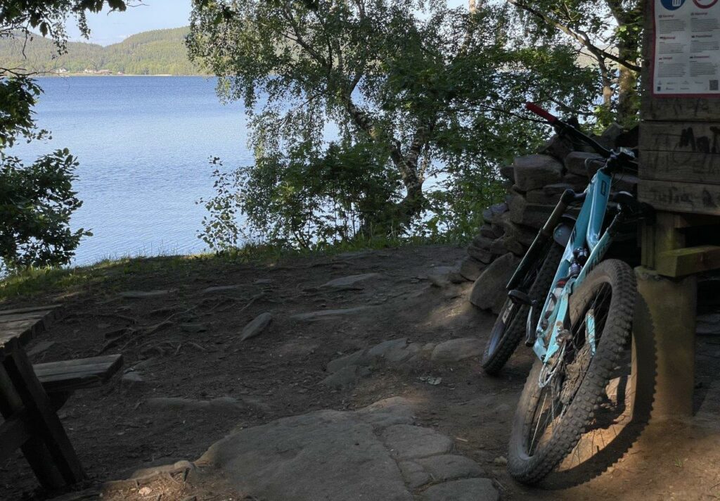
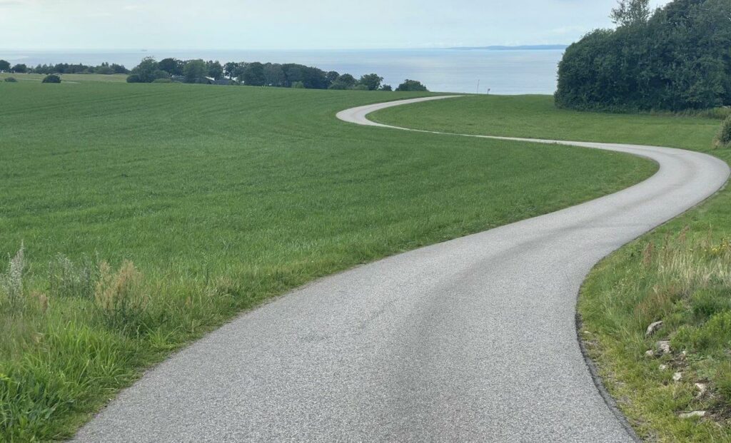
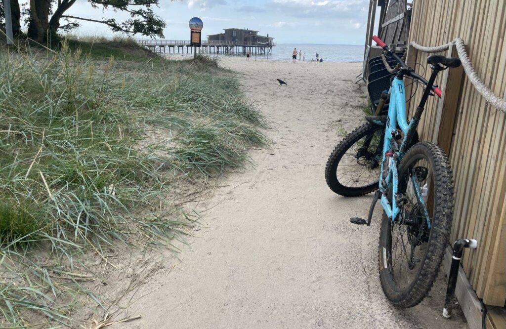
And then… it opens up! I lower the saddle. I put on a big smile and coast down the road and get a last high in the steep downhill trail the last part down to sea level. I park the bike and enjoy some Swedish Husmanskost and a German beer.
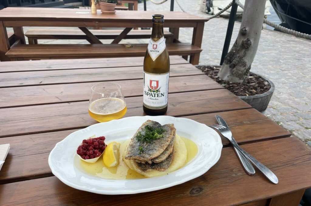
Project closed 😊.
Ride data part 5: Halmstad – Båstad
- Lenth: 134,80 kilometers
- Time: 9h3min
- Climb: 1.322 meters